 Old Cumbria Gazetteer
 |
 |
|
| Silloth Bank, Solway Firth | ||
| Silloth Bank | ||
| site name:- | Solway Firth | |
| locality:- | Silloth | |
| civil parish:- | Silloth-on-Solway (formerly Cumberland) (off) | |
| county:- | Cumbria | |
| locality type:- | sandbank | |
| coordinates:- | NY10705540 (etc) | |
| 1Km square:- | NY1055 | |
| 10Km square:- | NY15 | |
|
|
||
| evidence:- | possibly old map:- Donald 1774 (Cmd) placename:- Silloth Banks |
|
| source data:- | Map, hand coloured engraving, 3x2 sheets, The County of Cumberland, scale about 1
inch to 1 mile, by Thomas Donald, engraved and published by Joseph Hodskinson, 29
Arundel Street, Strand, London, 1774.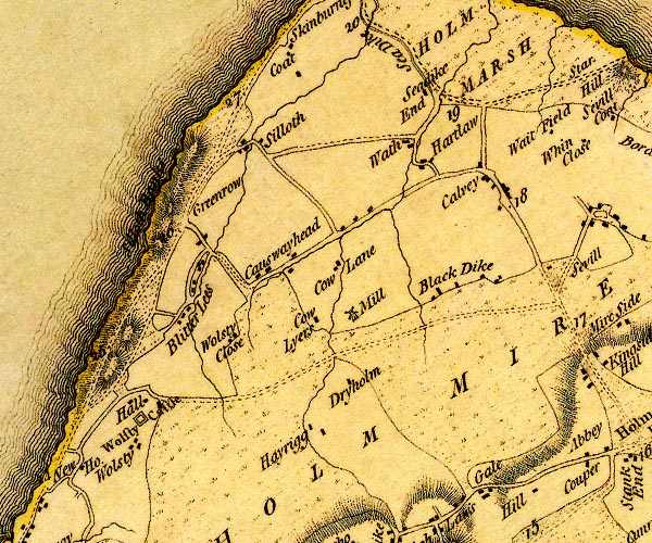 D4NY15SW.jpg "Silloth Banks" line of sand dunes or foreshore? S of Silloth item:- Carlisle Library : Map 2 Image © Carlisle Library |
|
|
|
||
| evidence:- | old text:- Mackenzie 1776 placename:- Silloth Bank |
|
| source data:- | Charts, and sailing directions, Nautical Descriptions of the
West Coast of Great Britain, Bristol Channel to Cape Wrath, by
Murdoch Mackenzie, published London, 1776. goto source goto sourcePages 23-24:- "... ..." "Silloth Bank lies near a mile and half from the nearest part of the shore at Silloth, and begins to dry on the W. end at half-ebb. Between the middle of it and Skinburness, there is a patch of sand that dries with spring-tide only." |
|
|
|
||
| evidence:- | old text:- Admiralty 1933 placename:- Silloth Bank |
|
| source data:- | goto source Page 398:- "..." "On the north-western side of the approach is the continuation north-eastward of Robin Rigg, formerly known as North bank, with Silloth bank close south-eastward of it; these banks are not" goto sourcePage 399:- "charted, as before stated, on account of the rapid changes that take place in them." |
|
|
|
||
Lakes Guides menu.