 Old Cumbria Gazetteer
 |
 |
|
| Roehill, Highbridge | ||
| Roehill | ||
| locality:- | Highbridge | |
| civil parish:- | Skelton (formerly Cumberland) | |
| county:- | Cumbria | |
| locality type:- | buildings | |
| coordinates:- | NY39584402 | |
| 1Km square:- | NY3944 | |
| 10Km square:- | NY34 | |
| references:- | Listed Buildings 2010 |
|
|
|
||
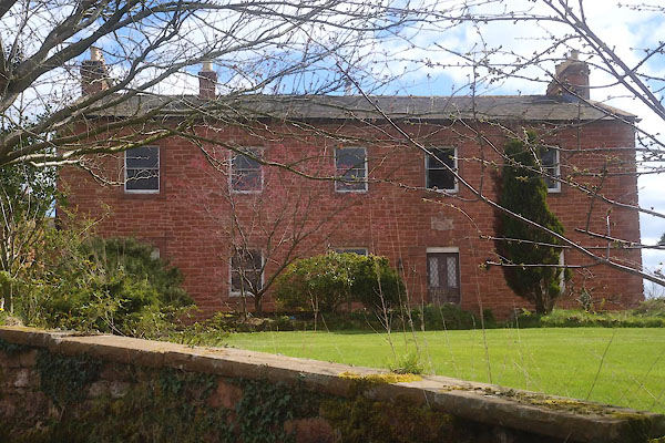 CEX46.jpg (taken 22.4.2016) 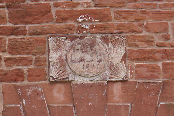 CEX47.jpg Date stone:- "T H / 1811" (taken 22.4.2016) |
||
|
|
||
| evidence:- | old map:- OS County Series (Cmd 38 3) placename:- Roehill |
|
| source data:- | Maps, County Series maps of Great Britain, scales 6 and 25
inches to 1 mile, published by the Ordnance Survey, Southampton,
Hampshire, from about 1863 to 1948. |
|
|
|
||
| evidence:- | database:- Listed Buildings 2010 placename:- Roehill item:- date stone (1811) |
|
| source data:- | courtesy of English Heritage "ROEHILL / / / SKELTON / EDEN / CUMBRIA / II / 73945 / NY3957844024" |
|
|
|
||
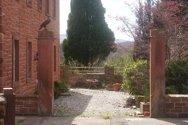 CEX48.jpg Gate piers. (taken 22.4.2016)  CEX49.jpg Gate piers, a falcon? (taken 22.4.2016) |
||
|
|
||
 Lakes Guides menu.