 Old Cumbria Gazetteer
 |
 |
|
| Moat Village Hall, Moat Common | ||
| Moat Village Hall | ||
| Moat School | ||
| locality:- | Moat Common | |
| civil parish:- | Kirkandrews (formerly Cumberland) | |
| county:- | Cumbria | |
| locality type:- | village hall | |
| locality type:- | school (ex) | |
| coordinates:- | NY41087404 | |
| 1Km square:- | NY4174 | |
| 10Km square:- | NY47 | |
|
|
||
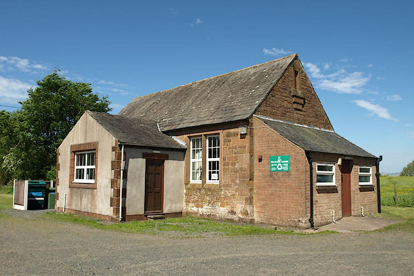 BSV73.jpg (taken 4.6.2010) 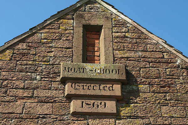 BSV74.jpg Plaque:- "MOAT SCHOOL / Erected / 1869" (taken 4.6.2010) |
||
|
|
||
| evidence:- | old map:- OS County Series (Cmd 6 8) |
|
| source data:- | Maps, County Series maps of Great Britain, scales 6 and 25
inches to 1 mile, published by the Ordnance Survey, Southampton,
Hampshire, from about 1863 to 1948. "Endowed School" |
|
|
|
||
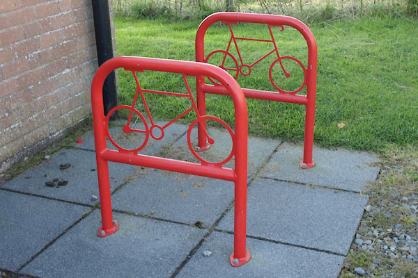 BZK11.jpg Bicycle stands. (taken 27.9.2013) |
||
|
|
||
 Lakes Guides menu.