 Old Cumbria Gazetteer
 |
 |
|
| Mire Side, Bassenthwaite | ||
| Mire Side | ||
| civil parish:- | Bassenthwaite (formerly Cumberland) | |
| county:- | Cumbria | |
| locality type:- | buildings | |
| coordinates:- | NY22643077 | |
| 1Km square:- | NY2230 | |
| 10Km square:- | NY23 | |
| references:- | Listed Buildings 2010 |
|
|
|
||
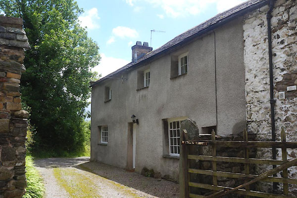 CFF31.jpg (taken 8.7.2016) |
||
|
|
||
| evidence:- | old map:- OS County Series (Cmd 55 4) placename:- Mire Side |
|
| source data:- | Maps, County Series maps of Great Britain, scales 6 and 25
inches to 1 mile, published by the Ordnance Survey, Southampton,
Hampshire, from about 1863 to 1948. |
|
|
|
||
| evidence:- | database:- Listed Buildings 2010 placename:- Mire Side |
|
| source data:- | courtesy of English Heritage "MIRE SIDE / / / BASSENTHWAITE / ALLERDALE / CUMBRIA / II / 72112 / NY2261630824" |
|
|
|
||
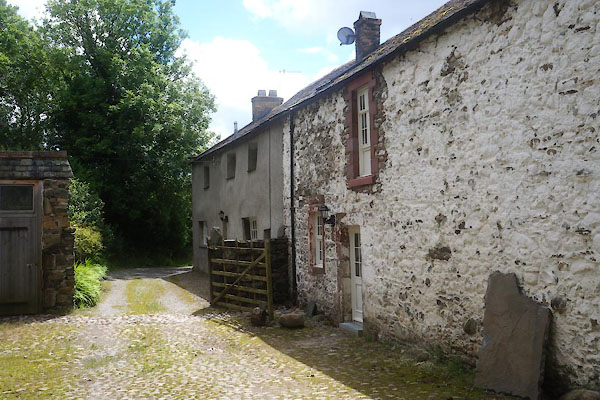 CFF32.jpg (taken 8.7.2016) 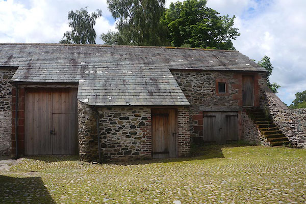 CFF33.jpg Barn. (taken 8.7.2016) |
||
|
|
||
 Lakes Guides menu.