 Old Cumbria Gazetteer
 |
 |
|
| Low Scarside, Bampton | ||
| Low Scarside | ||
| civil parish:- | Bampton (formerly Westmorland) | |
| county:- | Cumbria | |
| locality type:- | buildings | |
| coordinates:- | NY53571852 | |
| 1Km square:- | NY5318 | |
| 10Km square:- | NY51 | |
| references:- | Listed Buildings 2010 |
|
|
|
||
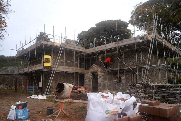
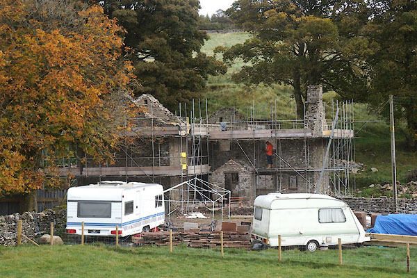 CFP56.jpg (taken 21.10.2016) 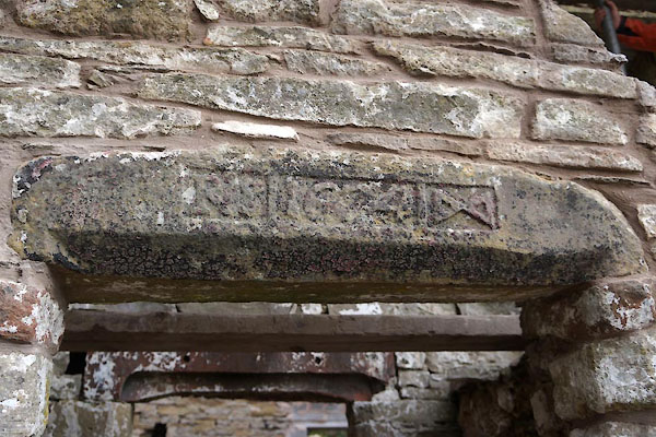 CFP57.jpg Date stone:- "RS 1674" (taken 21.10.2016) |
||
|
|
||
| evidence:- | old map:- OS County Series (Wmd 14 5) placename:- Low Scarside placename:- Scarside, Low |
|
| source data:- | Maps, County Series maps of Great Britain, scales 6 and 25
inches to 1 mile, published by the Ordnance Survey, Southampton,
Hampshire, from about 1863 to 1948. |
|
|
|
||
| evidence:- | database:- Listed Buildings 2010 placename:- Low Scarside item:- date stone (1674); date stone (1677) |
|
| source data:- | courtesy of English Heritage "LOW SCARSIDE AND BARN ADJOINING / / / BAMPTON / EDEN / CUMBRIA / II / 74492 / NY5357118524" |
|
|
|
||
| MN photo:- |
The date stone on the barn is said to read:- |
|
| "[I DID MAKE THIS LABOUR IN THE YEARE 1677 RICHARD SIMPSON]" |
||
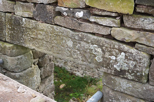 CFP58.jpg Date stone on barn. (taken 21.10.2016) 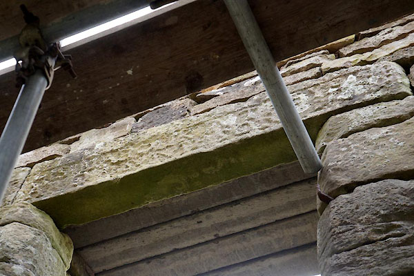 CFP59.jpg Date stone on barn. (taken 21.10.2016) |
||
|
|
||
 CFP60.jpg (taken 21.10.2016) |
||
|
|
||
 Lakes Guides menu.