 Old Cumbria Gazetteer
 |
 |
|
| Lodore Wood, Borrowdale | ||
| Lodore Wood | ||
| locality:- | Lodore | |
| civil parish:- | Borrowdale (formerly Cumberland) | |
| county:- | Cumbria | |
| locality type:- | wood | |
| coordinates:- | NY26701898 (etc) | |
| 1Km square:- | NY2618 | |
| 10Km square:- | NY21 | |
|
|
||
| evidence:- | old map:- OS County Series (Cmd 64 14) placename:- Lowdore Wood |
|
| source data:- | Maps, County Series maps of Great Britain, scales 6 and 25
inches to 1 mile, published by the Ordnance Survey, Southampton,
Hampshire, from about 1863 to 1948. |
|
|
|
||
| evidence:- | old map:- Clarke 1787 map (Der) |
|
| source data:- | Map, uncoloured engraving, Map of Derwentwater and its Environs,
scale about 13 ins to 1 mile, by James Clarke, engraved by S J
Neele, published by James Clarke, Penrith, Cumberland and in
London etc, 1787.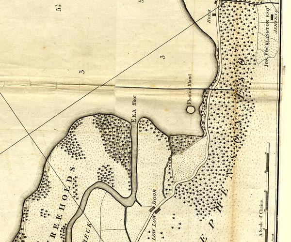 CL152619.jpg "STEPHENSON ESQr" woodland item:- private collection : 169 Image © see bottom of page |
|
|
|
||
 Lakes Guides menu.