 Old Cumbria Gazetteer
 |
 |
|
| level crossing, Lower Holker | ||
| site name:- | Ulverstone and Lancaster Railway | |
| locality:- | Crook Wheel | |
| civil parish:- | Lower Holker (formerly Lancashire) | |
| county:- | Cumbria | |
| locality type:- | level crossing | |
| coordinates:- | SD35597644 | |
| 1Km square:- | SD3576 | |
| 10Km square:- | SD37 | |
|
|
||
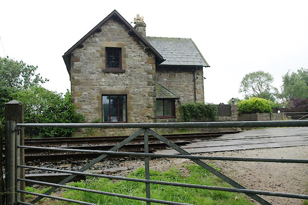 BTG69.jpg (taken 30.7.2010) 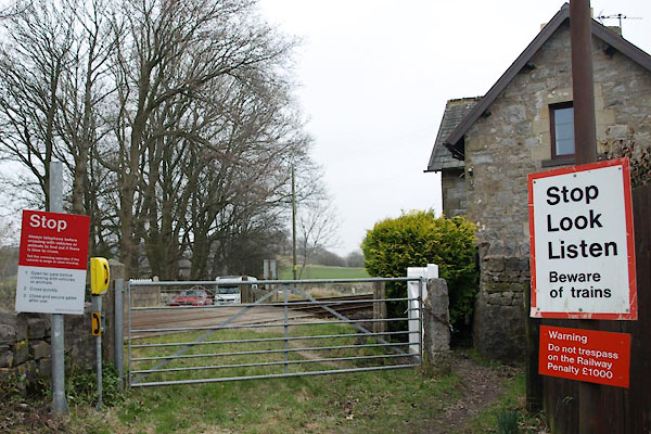 BUE60.jpg (taken 4.3.2011) |
||
|
|
||
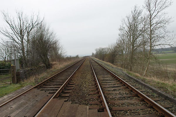 BUE62.jpg View W. (taken 4.3.2011) 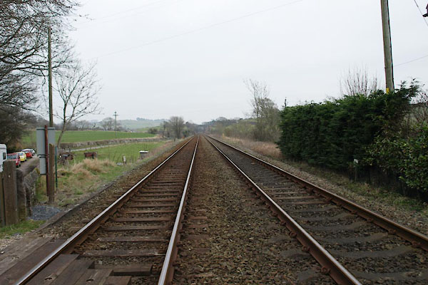 BUE63.jpg View E. (taken 4.3.2011) 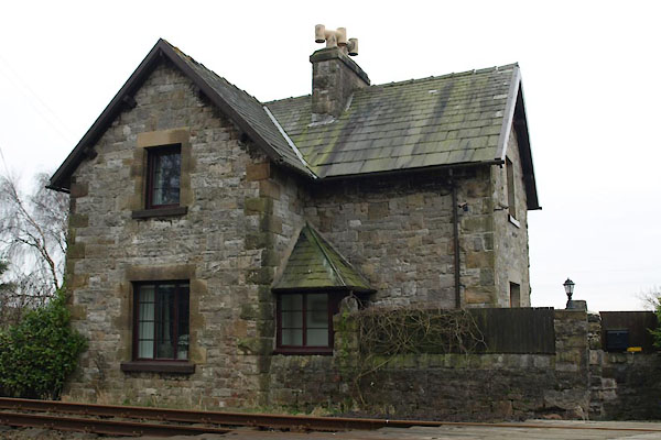 BUE61.jpg Crossing keeper's house. (taken 4.3.2011) |
||
|
|
||
 Lakes Guides menu.