 Old Cumbria Gazetteer
 |
 |
|
| level crossing, Grange-over-Sands | ||
| site name:- | Ulverstone and Lancaster Railway | |
| locality:- | Holme Island | |
| civil parish:- | Grange-over-Sands (formerly Lancashire) | |
| county:- | Cumbria | |
| locality type:- | level crossing | |
| coordinates:- | SD42207855 | |
| 1Km square:- | SD4278 | |
| 10Km square:- | SD47 | |
|
|
||
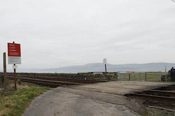 BUD45.jpg (taken 4.3.2011) 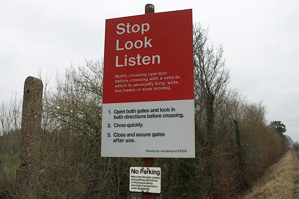 BUD48.jpg Warning sign. (taken 4.3.2011) |
||
|
|
||
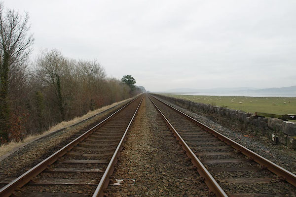 BUD46.jpg View E. (taken 4.3.2011) 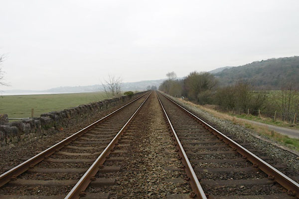 BUD47.jpg View W. (taken 4.3.2011)  BUD49.jpg Warning sign. (taken 4.3.2011) |
||
|
|
||
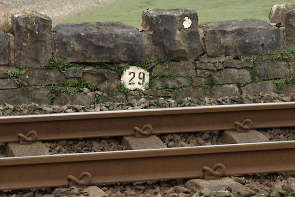 BUD51.jpg Is this a mile sign? (taken 4.3.2011) |
||
|
|
||
 Lakes Guides menu.