 Old Cumbria Gazetteer
 |
 |
|
| Knipe Ground, Coniston | ||
| Knipe Ground | ||
| civil parish:- | Coniston (formerly Lancashire) | |
| county:- | Cumbria | |
| locality type:- | buildings | |
| coordinates:- | SD32049756 | |
| 1Km square:- | SD3297 | |
| 10Km square:- | SD39 | |
| references:- | Listed Buildings 2010 |
|
|
|
||
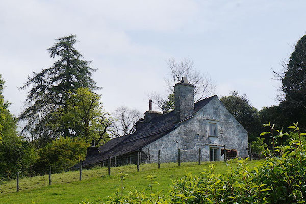 CAR19.jpg (taken 16.5.2014) |
||
|
|
||
| evidence:- | old map:- OS County Series (Lan 4 4) placename:- Knipe Ground |
|
| source data:- | Maps, County Series maps of Great Britain, scales 6 and 25
inches to 1 mile, published by the Ordnance Survey, Southampton,
Hampshire, from about 1863 to 1948. |
|
|
|
||
| evidence:- | database:- Listed Buildings 2010 placename:- Knipe Ground |
|
| source data:- | courtesy of English Heritage "KNIPE GROUND / / / CONISTON / SOUTH LAKELAND / CUMBRIA / II / 76771 / SD3204497560" |
|
|
|
||
 Lakes Guides menu.