 Old Cumbria Gazetteer
 |
 |
|
| Gillside, Grasmere | ||
| Gillside | ||
| civil parish:- | Lakes (formerly Westmorland) | |
| county:- | Cumbria | |
| locality type:- | buildings | |
| coordinates:- | NY33790933 | |
| 1Km square:- | NY3309 | |
| 10Km square:- | NY30 | |
| references:- | Listed Buildings 2010 |
|
|
|
||
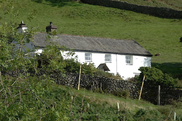 CEA09.jpg (taken 28.9.2015) |
||
|
|
||
| evidence:- | old map:- OS County Series (Wmd 19 13) placename:- Gillside |
|
| source data:- | Maps, County Series maps of Great Britain, scales 6 and 25
inches to 1 mile, published by the Ordnance Survey, Southampton,
Hampshire, from about 1863 to 1948. |
|
|
|
||
| evidence:- | database:- Listed Buildings 2010 placename:- Gillside |
|
| source data:- | courtesy of English Heritage "GILLSIDE / / / LAKES / SOUTH LAKELAND / CUMBRIA / II / 452098 / NY3379909337" |
|
|
|
||
| evidence:- | database:- Listed Buildings 2010 |
|
| source data:- | courtesy of English Heritage "BARN TO SOUTH WEST OF GILLSIDE / / / LAKES / SOUTH LAKELAND / CUMBRIA / II / 452099 / NY3375209305" |
|
|
|
||
 Lakes Guides menu.