 Old Cumbria Gazetteer
 |
 |
|
| Devonshire Buildings, Barrow-in-Furness | ||
| Devonshire Buildings | ||
| Street:- | Ship Street | |
| Street:- | Michaelson Road | |
| locality:- | Barrow-in-Furness | |
| civil parish:- | Barrow-in-Furness (formerly Lancashire) | |
| county:- | Cumbria | |
| locality type:- | buildings | |
| coordinates:- | SD19556819 | |
| 1Km square:- | SD1968 | |
| 10Km square:- | SD16 | |
| references:- | Listed Buildings 2010 |
|
|
|
||
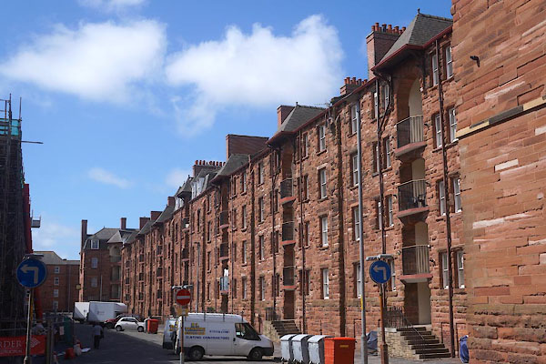 CDF74.jpg Ship Street frontage. (taken 7.6.2015) 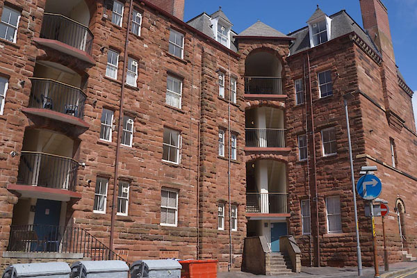 CDF75.jpg Stair. (taken 7.6.2015) |
||
|
|
||
| evidence:- | database:- Listed Buildings 2010 placename:- Devonshire Buildings |
|
| source data:- | courtesy of English Heritage "DEVONSHIRE BUILDINGS / 41913 / MICHAELSON ROAD / BARROW IN FURNESS / BARROW IN FURNESS / CUMBRIA / II[star] / 388535 / SD1961868327" |
|
|
|
||
| evidence:- | database:- Listed Buildings 2010 placename:- Devonshire Buildings |
|
| source data:- | courtesy of English Heritage "DEVONSHIRE BUILDINGS / 40422 / MICHAELSON ROAD / BARROW IN FURNESS / BARROW IN FURNESS / CUMBRIA / II[star] / 388534 / SD1955668196" |
|
|
|
||
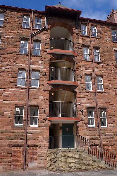 CDF76.jpg Stair. (taken 7.6.2015) 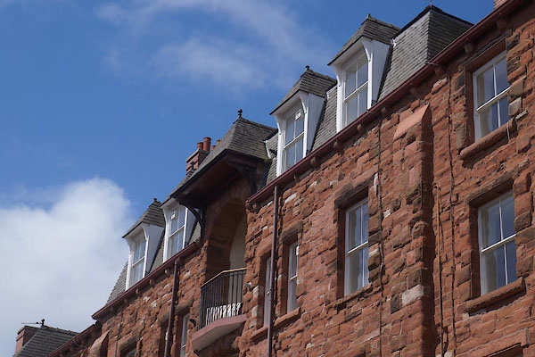 CDF77.jpg Detail. (taken 7.6.2015) 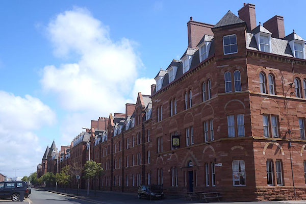 CDF90.jpg Rear, Michaelson Street. (taken 7.6.2015) 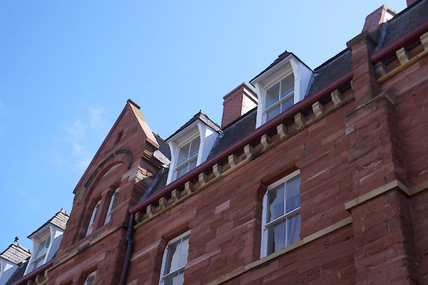 CDF91.jpg (taken 7.6.2015) 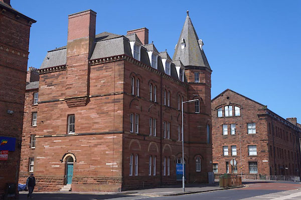 CDF92.jpg N end of block, Island Road There is a pair to the tower across the street. (taken 7.6.2015) |
||
|
|
||
 Lakes Guides menu.