 Old Cumbria Gazetteer
 |
 |
|
|
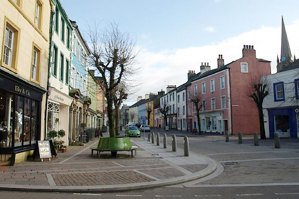
| Cockermouth: Market Place | |||
| Market Place | |||
| locality:- | Cockermouth | ||
| civil parish:- | Cockermouth (formerly Cumberland) | ||
| county:- | Cumbria | ||
| locality type:- | street | ||
| coordinates:- | NY12363071 | ||
| 1Km square:- | NY1230 | ||
| 10Km square:- | NY13 | ||
| references:- | Listed Buildings 2010 |
||
|
|
|||
 BVY58.jpg (taken 24.2.2012) 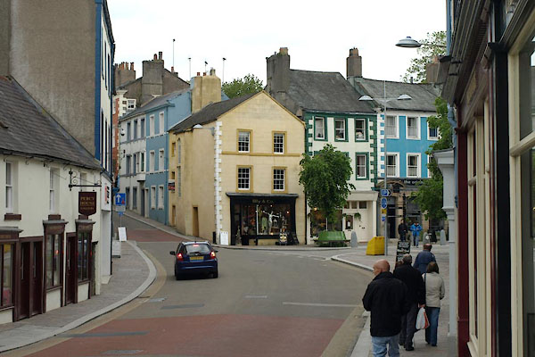 BUQ39.jpg (taken 27.5.2011) |
|||
|
|
|||
| evidence:- | old map:- OS County Series (Cmd 54 4) placename:- Market Place |
||
| source data:- | Maps, County Series maps of Great Britain, scales 6 and 25
inches to 1 mile, published by the Ordnance Survey, Southampton,
Hampshire, from about 1863 to 1948. |
||
|
|
|||
| evidence:- | old map:- Donald 1774 (Cmd) placename:- Market Place |
||
| source data:- | Map, hand coloured engraving, 3x2 sheets, The County of Cumberland, scale about 1
inch to 1 mile, by Thomas Donald, engraved and published by Joseph Hodskinson, 29
Arundel Street, Strand, London, 1774.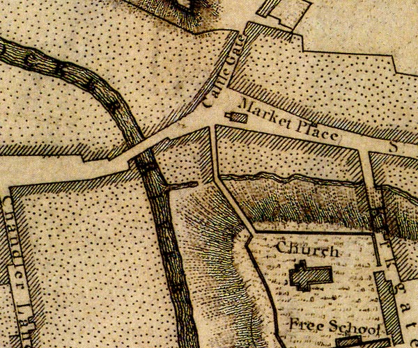 D41230I.jpg "Market Place" street; a building is shown in the middle of the street, a market hall? item:- Carlisle Library : Map 2 Image © Carlisle Library |
||
|
|
|||
| evidence:- | database:- Listed Buildings 2010 |
||
| source data:- | courtesy of English Heritage "/ 40362 / MARKET PLACE / COCKERMOUTH / ALLERDALE / CUMBRIA / II / 71734 / NY1236730718" |
||
|
|
|||
| evidence:- | database:- Listed Buildings 2010 |
||
| source data:- | courtesy of English Heritage "/ 45231 / MARKET PLACE / COCKERMOUTH / ALLERDALE / CUMBRIA / II / 71736 / NY1233230729" |
||
|
|
|||
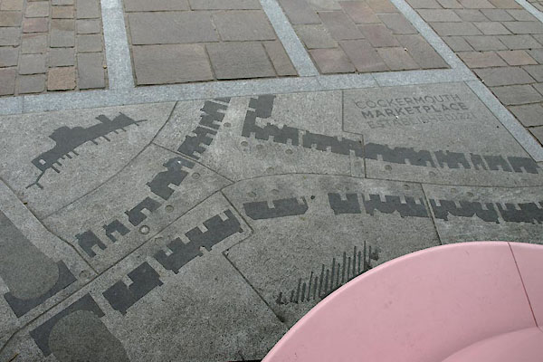
| MN photo:- |
This map of Market Place has appeared in the repairing of Cockermouth after the flood
of 2009. |
||
 BUQ29.jpg (taken 27.5.2011) 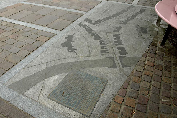 BUQ30.jpg (taken 27.5.2011) 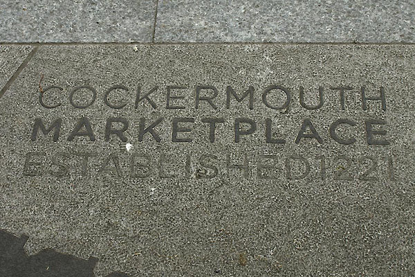 BUQ31.jpg (taken 27.5.2011) 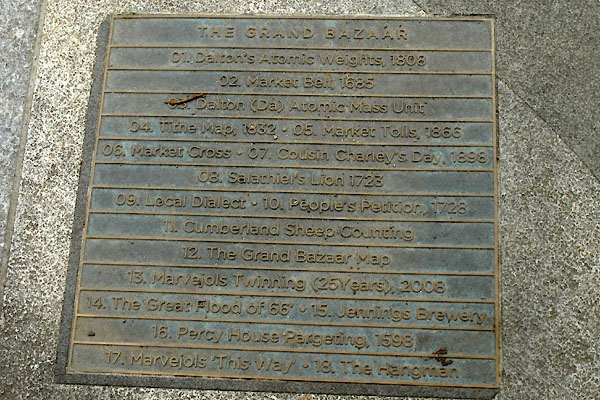 BUQ32.jpg (taken 27.5.2011) |
|||
|
|
|||
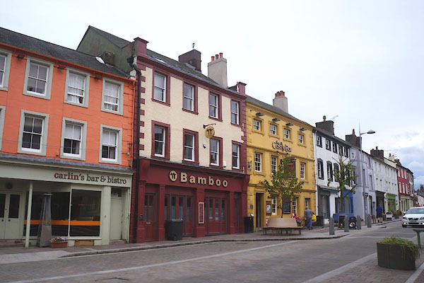 CGD36.jpg North side, even numbers. (taken 19.5.2017) |
|||
|
|
|||
| mapping:- |  Cockermouth: Main Street Cockermouth: Main Street Cockermouth: Castlegate Cockermouth: Castlegate Cockermouth: Kirkgate Cockermouth: Kirkgate[Cockermouth: St Helen's Street] Cockermouth: Main Street Cockermouth: Main Street Cockermouth: Castlegate Cockermouth: Castlegate Cockermouth: Kirkgate Cockermouth: Kirkgate[Cockermouth: St Helen's Street][Cockermouth: St Helen's Street] |
||
|
|
|||
Lakes Guides menu.