 Old Cumbria Gazetteer
 |
 |
|
| Carwinley High Bridge, Carwinley | ||
| Carwinley High Bridge | ||
| site name:- | Carwinley Burn | |
| locality:- | Carwinley | |
| civil parish:- | Arthuret (formerly Cumberland) | |
| civil parish:- | Kirkandrews (formerly Cumberland) | |
| county:- | Cumbria | |
| locality type:- | bridge | |
| coordinates:- | NY40767319 | |
| 1Km square:- | NY4073 | |
| 10Km square:- | NY47 | |
|
|
||
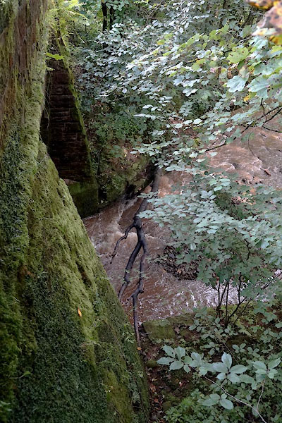 CBN38.jpg (taken 29.8.2014) |
||
|
|
||
| evidence:- | probably old map:- Bowen and Kitchin 1760 |
|
| source data:- | Map, hand coloured engraving, A New Map of the Counties of
Cumberland and Westmoreland Divided into their Respective Wards,
scale about 4 miles to 1 inch, by Emanuel Bowen and Thomas
Kitchin et al, published by T Bowles, Robert Sayer, and John
Bowles, London, 1760.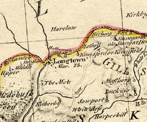 BO18NY47.jpg road crosses stream item:- Armitt Library : 2008.14.10 Image © see bottom of page |
|
|
|
||
| evidence:- | old map:- Bell 1892 placename:- Carwinley High Bridge |
|
| source data:- | Map, colour lithograph, Road Map of Cumberland, by George Joseph
Bell, scale about 2.5 miles to 1 inch, printed by Charles
Thurnam and Sons, Carlisle, Cumberland, 1892.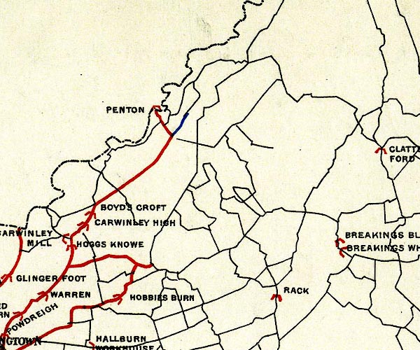 BEL9NY47.jpg "CARWINLEY HIGH" bridge symbol Road map of Cumberland showing County Bridges item:- Carlisle Library : Map 38 Image © Carlisle Library |
|
|
|
||
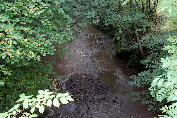 CBN39.jpg View of river. (taken 29.8.2014) 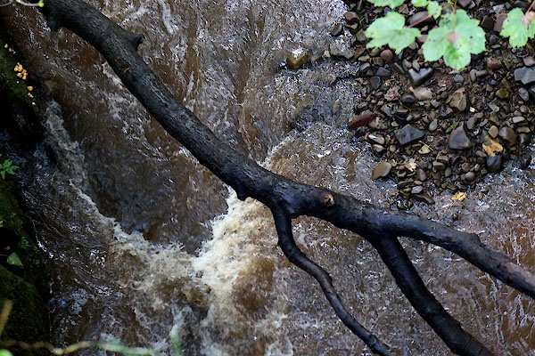 CBN40.jpg View of river. (taken 29.8.2014) |
||
|
|
||
 Lakes Guides menu.