Old Cumbria Gazetteer
 |
 |
|
||
| Birkside Gill | ||||
| runs into:- |  Thirlmere Thirlmere |
|||
|
|
||||
| site name:- | Birkside Gill | |||
| civil parish:- | St John's Castlerigg and Wythburn (formerly Cumberland) | |||
| county:- | Cumbria | |||
| locality type:- | river | |||
| coordinates:- | NY32541244 (etc) | |||
| 1Km square:- | NY3212 | |||
| 10Km square:- | NY31 | |||
|
|
||||
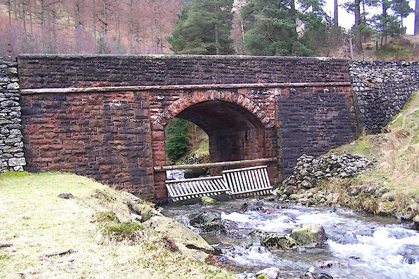
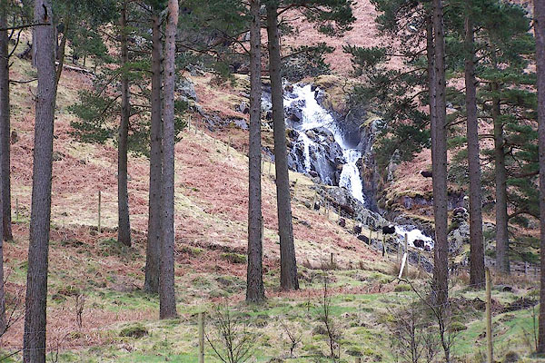
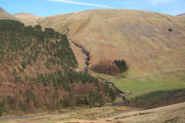 BUF80.jpg (taken 14.3.2011) 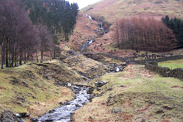 BLT58.jpg (taken 3.4.2006) |
||||
|
|
||||
| evidence:- | old map:- Ogilby 1675 (plate 96) |
|||
| source data:- | Road strip map, hand coloured engraving, the Road from Kendal to
Cockermouth, and the Road from Egremond to Carlisle, scale about
1 inch to 1 mile, by John Ogilby, London, 1675.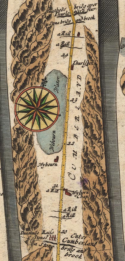 OG96m020.jpg In mile 20, Cumberland. "a Rill" drawn across the road. item:- JandMN : 22 Image © see bottom of page |
|||
|
|
||||
| evidence:- | old map:- Donald 1774 (Cmd) |
|||
| source data:- | Map, hand coloured engraving, 3x2 sheets, The County of Cumberland, scale about 1
inch to 1 mile, by Thomas Donald, engraved and published by Joseph Hodskinson, 29
Arundel Street, Strand, London, 1774.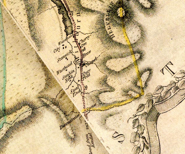 D4NY31SW.jpg single or double wiggly line; a river into the Wyth Burn item:- Carlisle Library : Map 2 Image © Carlisle Library |
|||
|
|
||||
| places:- |
|
|||
|
||||
|
||||
|
||||
Lakes Guides menu.