 Old Cumbria Gazetteer
 |
 |
|
| Beckgate Bridge, Barbon | ||
| Beckgate Bridge | ||
| site name:- | Barbon Beck | |
| Street:- | Beckgate | |
| locality:- | Barbon | |
| civil parish:- | Barbon (formerly Westmorland) | |
| county:- | Cumbria | |
| locality type:- | bridge | |
| coordinates:- | SD62778268 | |
| 1Km square:- | SD6282 | |
| 10Km square:- | SD68 | |
| references:- | Listed Buildings 2010 |
|
|
|
||
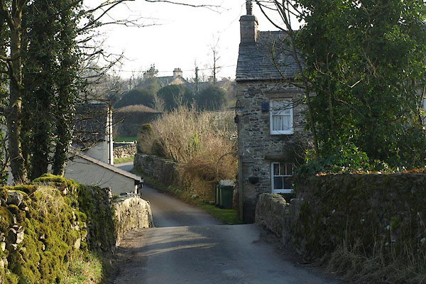 BXW80.jpg (taken 18.2.2013) 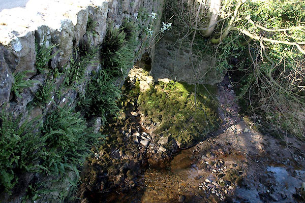 BXW76.jpg (taken 18.2.2013) |
||
|
|
||
| evidence:- | old map:- OS County Series (Wmd 44 13) |
|
| source data:- | Maps, County Series maps of Great Britain, scales 6 and 25
inches to 1 mile, published by the Ordnance Survey, Southampton,
Hampshire, from about 1863 to 1948. "Bridge" |
|
|
|
||
| evidence:- | old map:- Jefferys 1770 (Wmd) |
|
| source data:- | Map, 4 sheets, The County of Westmoreland, scale 1 inch to 1
mile, surveyed 1768, and engraved and published by Thomas
Jefferys, London, 1770.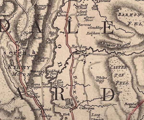 J5SD68SW.jpg double line, road, across a stream; bridge item:- National Library of Scotland : EME.s.47 Image © National Library of Scotland |
|
|
|
||
| evidence:- | database:- Listed Buildings 2010 placename:- Beckgate Bridge |
|
| source data:- | courtesy of English Heritage "BECKGATE BRIDGE / / / BARBON / SOUTH LAKELAND / CUMBRIA / II / 75596 / SD6277082684" |
|
| source data:- | courtesy of English Heritage "Bridge. Probably C18. Stone rubble. Segmental arch with thin rubble voussoirs, higher to north side. Plain parapets. Roadway approx. 3.5m across." |
|
|
|
||
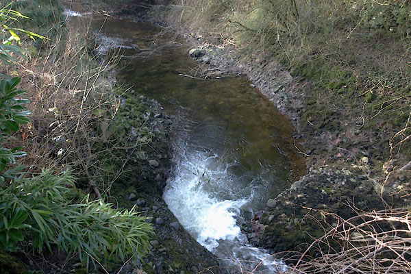 BXW77.jpg View of river. (taken 18.2.2013) |
||
|
|
||
 Lakes Guides menu.