 Old Cumbria Gazetteer
 |
 |
|
| Barrock Gill, Hesket | ||
| Barrock Gill | ||
| site name:- | Barrock Gill | |
| civil parish:- | Hesket (formerly Cumberland) | |
| county:- | Cumbria | |
| locality type:- | buildings | |
| locality type:- | mill | |
| locality type:- | water mill | |
| coordinates:- | NY46024642 | |
| 1Km square:- | NY4646 | |
| 10Km square:- | NY44 | |
| references:- | Listed Buildings 2010 |
|
|
|
||
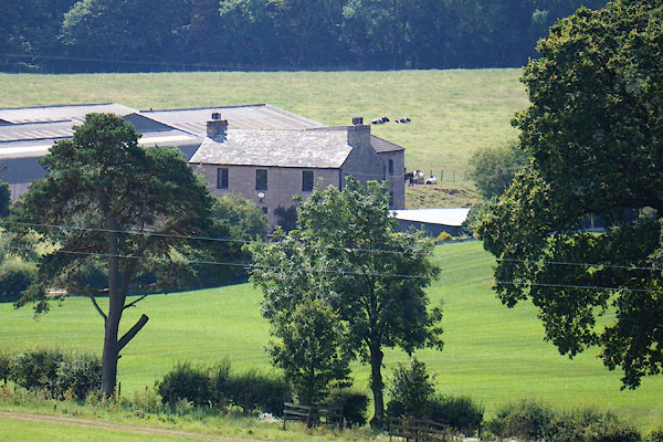 CBF82.jpg (taken 25.7.2014) |
||
|
|
||
| evidence:- | old map:- OS County Series (Cmd 31 10) placename:- Barrockgill |
|
| source data:- | Maps, County Series maps of Great Britain, scales 6 and 25
inches to 1 mile, published by the Ordnance Survey, Southampton,
Hampshire, from about 1863 to 1948. "Barrockgill / Mill Dam / Sluice / Mill Race" |
|
|
|
||
| evidence:- | database:- Listed Buildings 2010 placename:- Barrock Gill item:- date stone (1818) |
|
| source data:- | courtesy of English Heritage "BARROCK GILL / / / HESKET / EDEN / CUMBRIA / II / 73897 / NY4602646429" |
|
|
|
||
 Lakes Guides menu.