 Old Cumbria Gazetteer
 |
 |
|
| Catherine Mill, Whitehaven | ||
| Catherine Mill | ||
| Street:- | Catherine Street | |
| locality:- | Whitehaven | |
| civil parish:- | Whitehaven (formerly Cumberland) | |
| county:- | Cumbria | |
| locality type:- | buildings | |
| locality type:- | factory (ex) | |
| coordinates:- | NX97361781 | |
| 1Km square:- | NX9717 | |
| 10Km square:- | NX91 | |
|
|
||
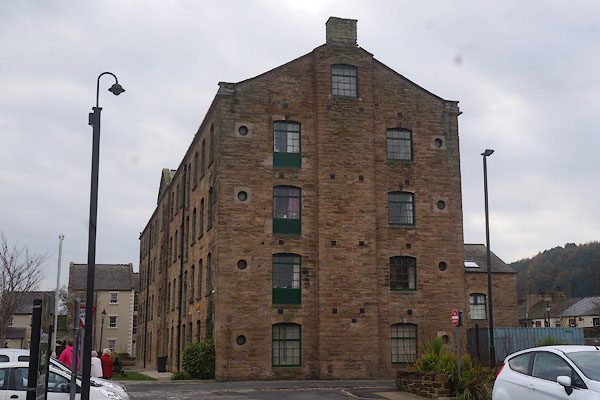 CBY30.jpg (taken 31.10.2014) 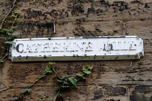 CBY31.jpg Sign. (taken 31.10.2014) |
||
|
|
||
| evidence:- | old map:- OS County Series (Cmd 67 2) placename:- Royal Cumberland Military Barracks |
|
| source data:- | Maps, County Series maps of Great Britain, scales 6 and 25
inches to 1 mile, published by the Ordnance Survey, Southampton,
Hampshire, from about 1863 to 1948. |
|
|
|
||
| evidence:- | database:- Listed Buildings 2010 placename:- Barracks Mill item:- ; ?datestone |
|
| source data:- | courtesy of English Heritage "BARRACKS MILL / / CATHERINE STREET / WHITEHAVEN / COPELAND / CUMBRIA / II[star] / 75904 / NX9736417813" |
|
|
|
||
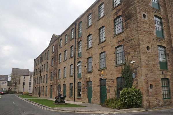 CBY28.jpg (taken 31.10.2014) 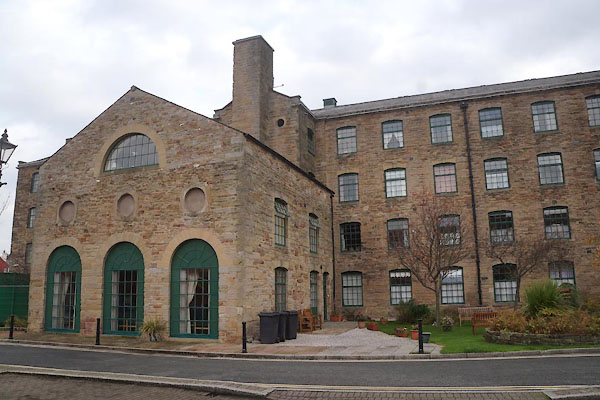 CBY29.jpg Centrally located engine house. (taken 31.10.2014) 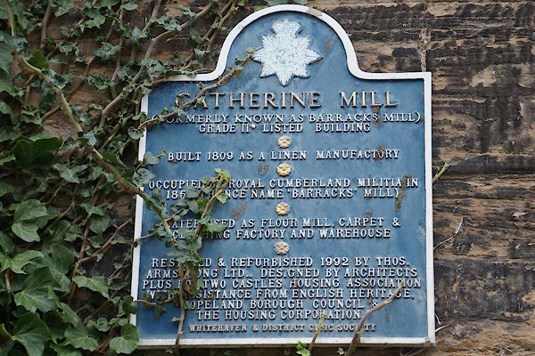 CBY32.jpg Plaque. (taken 31.10.2014) |
||
|
|
||
| person:- | unit; militia : Royal Cumberland Militia |
|
| date:- | 1850 to 1859 |
|
| period:- | 1850s | |
|
|
||
 Lakes Guides menu.