 Old Cumbria Gazetteer
 |
 |
|
||
| Ashness Gill | ||||
| runs into:- |  Barrow Beck Barrow Beck |
|||
|
|
||||
| civil parish:- | Borrowdale (formerly Cumberland) | |||
| civil parish:- | St John's Castlerigg and Wythburn (formerly Cumberland) | |||
| county:- | Cumbria | |||
| locality type:- | river | |||
| locality type:- | boundary | |||
| locality type:- | parish boundary | |||
| 1Km square:- | NY2818 (etc) | |||
| 10Km square:- | NY21 | |||
|
|
||||
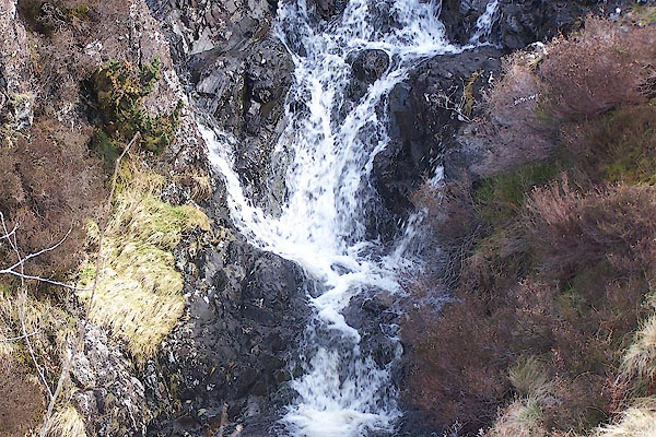 BUI47.jpg (taken 7.4.2011) 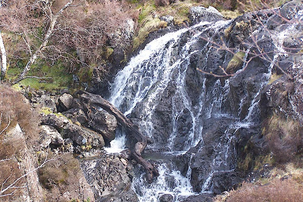 BUI48.jpg (taken 7.4.2011) |
||||
|
|
||||
| evidence:- | old map:- OS County Series (Cmd 64 14) placename:- Ashness Gill |
|||
| source data:- | Maps, County Series maps of Great Britain, scales 6 and 25
inches to 1 mile, published by the Ordnance Survey, Southampton,
Hampshire, from about 1863 to 1948. |
|||
|
|
||||
| places:- |
|
|||
Lakes Guides menu.