 Old Cumbria Gazetteer
 |
 |
|
| Oxenthwaite Bridge, Stainmore | ||
| Oxenthwaite Bridge | ||
| site name:- | Belah, River | |
| locality:- | Oxenthwaite | |
| civil parish:- | Stainmore (formerly Westmorland) | |
| civil parish:- | Kaber (formerly Westmorland) | |
| county:- | Cumbria | |
| locality type:- | bridge | |
| coordinates:- | NY82401197 | |
| 1Km square:- | NY8211 | |
| 10Km square:- | NY81 | |
|
|
||
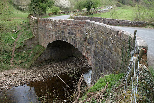 BSP95.jpg (taken 30.4.2010) |
||
|
|
||
| evidence:- | old map:- OS County Series (Wmd 24 5) placename:- Oxenthwaite Bridge |
|
| source data:- | Maps, County Series maps of Great Britain, scales 6 and 25
inches to 1 mile, published by the Ordnance Survey, Southampton,
Hampshire, from about 1863 to 1948. "Oxenthwaite Bridge" |
|
|
|
||
| evidence:- | probably old map:- Saxton 1579 |
|
| source data:- | Map, hand coloured engraving, Westmorlandiae et Cumberlandiae Comitatus ie Westmorland
and Cumberland, scale about 5 miles to 1 inch, by Christopher Saxton, London, engraved
by Augustinus Ryther, 1576, published 1579-1645.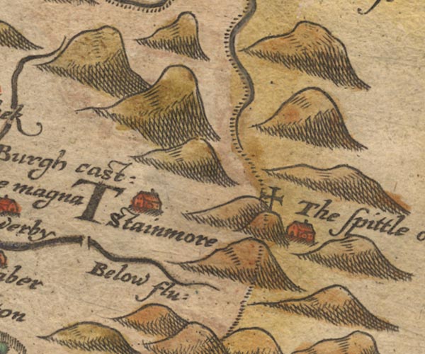 Sax9NY81.jpg item:- private collection : 2 Image © see bottom of page |
|
|
|
||
| evidence:- | old map:- Jefferys 1770 (Wmd) |
|
| source data:- | Map, 4 sheets, The County of Westmoreland, scale 1 inch to 1
mile, surveyed 1768, and engraved and published by Thomas
Jefferys, London, 1770.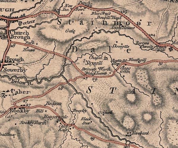 J5NY81SW.jpg double line, road, across a stream; bridge item:- National Library of Scotland : EME.s.47 Image © National Library of Scotland |
|
|
|
||
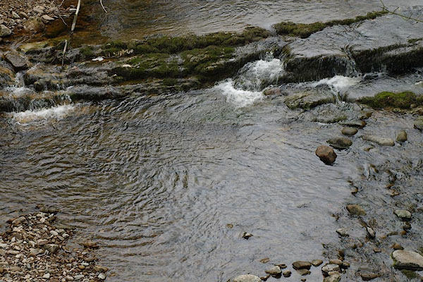 BSP97.jpg View of river. (taken 30.4.2010) 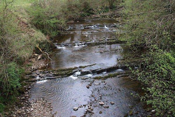 BSP96.jpg View of river. (taken 30.4.2010) |
||
|
|
||
 Lakes Guides menu.