 Old Cumbria Gazetteer
 |
 |
|
| Tunnel Bridge, Shap Rural | ||
| Tunnel Bridge | ||
| site name:- | Longfell Gill | |
| site name:- | road, Kendal to Shap | |
| civil parish:- | Shap Rural (formerly Westmorland) | |
| county:- | Cumbria | |
| locality type:- | bridge | |
| coordinates:- | NY56521039 | |
| 1Km square:- | NY5610 | |
| 10Km square:- | NY51 | |
|
|
||
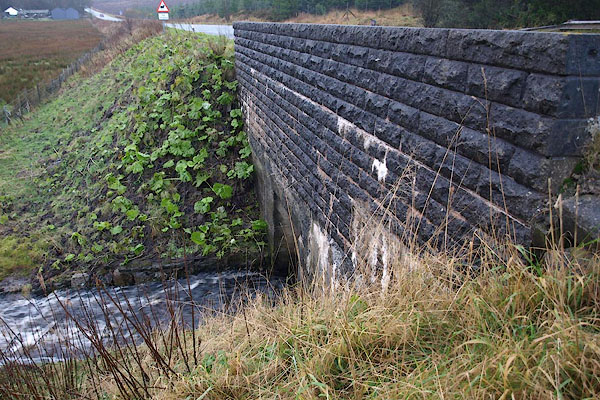 BRX06.jpg (taken 20.11.2009) |
||
|
|
||
| evidence:- | old map:- OS County Series placename:- Tunnel, The |
|
| source data:- | Maps, County Series maps of Great Britain, scales 6 and 25
inches to 1 mile, published by the Ordnance Survey, Southampton,
Hampshire, from about 1863 to 1948. "The Tunnel" |
|
|
|
||
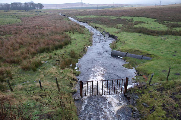 BRX07.jpg View of river. (taken 20.11.2009) |
||
|
|
||
 Lakes Guides menu.