 Old Cumbria Gazetteer
 |
 |
|
| Thunder Stone, Shap Rural | ||
| Thunder Stone | ||
| locality:- | Castlehowe Scar | |
| civil parish:- | Shap Rural (formerly Westmorland) | |
| county:- | Cumbria | |
| locality type:- | stone | |
| locality type:- | boundary mark | |
| coordinates:- | NY58481551 | |
| 1Km square:- | NY5815 | |
| 10Km square:- | NY51 | |
| references:- | OS County Series |
|
|
|
||
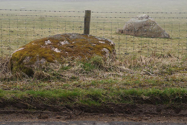 CAB57.jpg This one? (taken 14.3.2014) 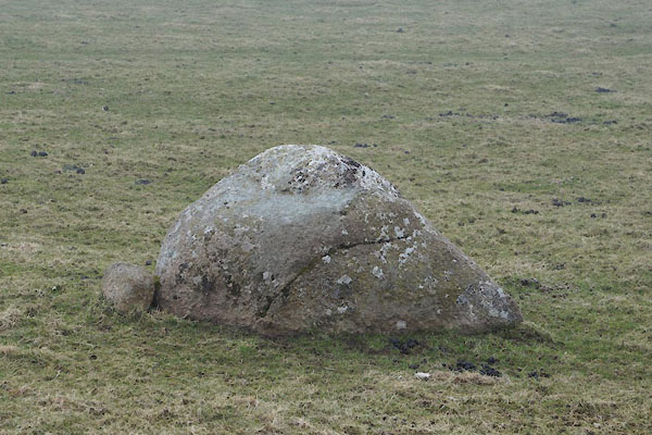 CAB58.jpg Or this one? (taken 14.3.2014) |
||
|
|
||
| evidence:- | old map:- OS County Series (Wmd 14 15) placename:- Thunder Stone |
|
| source data:- | Maps, County Series maps of Great Britain, scales 6 and 25
inches to 1 mile, published by the Ordnance Survey, Southampton,
Hampshire, from about 1863 to 1948. "Thunder Stone" |
|
|
|
||
 Lakes Guides menu.