 Old Cumbria Gazetteer
 |
 |
|
| St Paul's School, Silloth | ||
| St Paul's School | ||
| St Paul's Parochial School | ||
| Solway Discovery Centre | ||
| Street:- | Wigton Road (?) | |
| locality:- | Silloth | |
| civil parish:- | Silloth-on-Solway (formerly Cumberland) | |
| county:- | Cumbria | |
| locality type:- | school | |
| coordinates:- | NY11225386 | |
| 1Km square:- | NY1153 | |
| 10Km square:- | NY15 | |
| references:- | OS County Series |
|
|
|
||
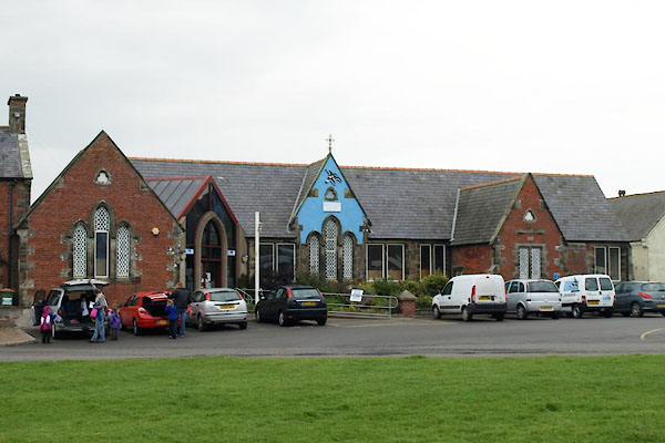 BVJ09.jpg (taken 16.9.2011) 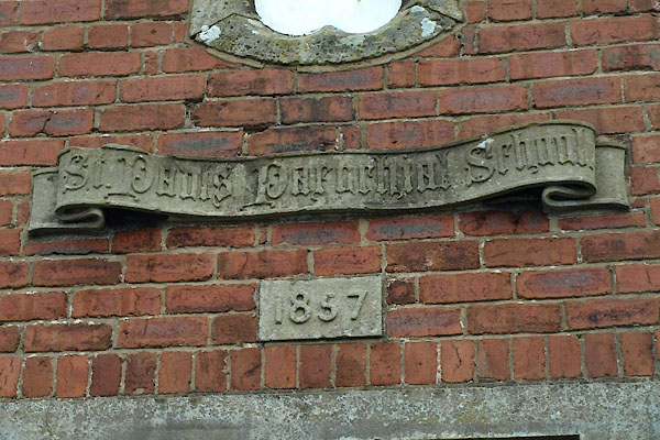 BVJ10.jpg Inscription:- "St. Paul's Parochial School / 1857" (taken 16.9.2011) |
||
|
|
||
| evidence:- | old map:- OS County Series (Cmd 20 11) placename:- St Paul's School |
|
| source data:- | Maps, County Series maps of Great Britain, scales 6 and 25
inches to 1 mile, published by the Ordnance Survey, Southampton,
Hampshire, from about 1863 to 1948. "St. Paul's School" |
|
|
|
||
 BVJ11.jpg Label:- "Solway Coast / Discovery / Centre" (taken 16.9.2011) |
||
|
|
||
 Lakes Guides menu.