button to main menu  Old Cumbria Gazetteer
St Herbert Social Centre, Keswick
St Herbert Social Centre
Crosthwaite Sunday School
Street:-   High Hill
locality:-   Great Crosthwaite
civil parish:-   Keswick (formerly Cumberland)
county:-   Cumbria
locality type:-   village hall
locality type:-   school (ex) 
coordinates:-   NY26152391
1Km square:-   NY2623
10Km square:-   NY22


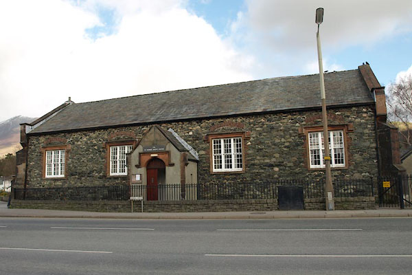
photograph
BWA11.jpg (taken 5.3.2012)  
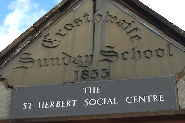
photograph
BWA12.jpg "Crosthwaite / Sunday School / 1833" "ST. HERBERT SOCIAL CENTRE" (taken 5.3.2012)  

evidence:-   old map:- OS County Series (Cmd 64 2) 
source data:-   Maps, County Series maps of Great Britain, scales 6 and 25 inches to 1 mile, published by the Ordnance Survey, Southampton, Hampshire, from about 1863 to 1948.
"National and Sunday School"
""

evidence:-   old itinerary:- Johnson 1908 (Roads/Cum) 
placename:-  Crosthwaite Sunday School
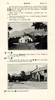
source data:-   Itinerary, Route 42 in Roads Made Easy by Picture and Pen, Kendal to Carlisle, through The Lakes, by Claude Johnson, edited by Lord Montagu, published by The Car Illustrated, 168 Piccadilly, London, 1908.
image  click to enlarge
JS5086.jpg
item:-  private collection : 268.12
Image © see bottom of page

evidence:-   database:- Listed Buildings 2010
placename:-  Crosthwaite Sunday School
source data:-  
courtesy of English Heritage
"CROSTHWAITE SUNDAY SCHOOL / / HIGH HILL / KESWICK / ALLERDALE / CUMBRIA / II / 71778 / NY2615723911"
source data:-  
courtesy of English Heritage
"Formerly day school. Dated 1833. Stone rubble and slate, with slate roof, single storey, corner buttresses. Four 3-light sash windows with very small panes in sandstone ashlar architraves with labels. Gabled porch with pointed arched doorway and inscribed spandrel. Gable ends with a similar window on each floor. Gable end to Crosthwaite Road has a similar doorway. Wing to rear."

button to lakes menu  Lakes Guides menu.