 Old Cumbria Gazetteer
 |
 |
|
| school, Ainstable | ||
| Ainstable School | ||
| locality:- | Ainstable | |
| civil parish:- | Ainstable (formerly Cumberland) | |
| county:- | Cumbria | |
| locality type:- | buildings | |
| locality type:- | school (ex) | |
| locality type:- | library (ex) | |
| coordinates:- | NY53264611 | |
| 1Km square:- | NY5346 | |
| 10Km square:- | NY54 | |
| references:- | OS County Series |
|
|
|
||
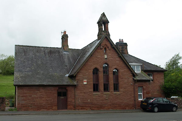 BUP34.jpg (taken 21.5.2011) 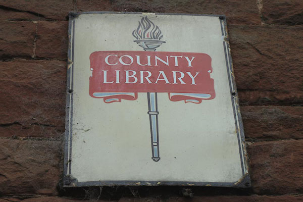 BUP35.jpg Enamel sign:- "COUNTY / LIBRARY" (taken 21.5.2011) |
||
|
|
||
| evidence:- | old map:- OS County Series (Cmd 32 9) |
|
| source data:- | Maps, County Series maps of Great Britain, scales 6 and 25
inches to 1 mile, published by the Ordnance Survey, Southampton,
Hampshire, from about 1863 to 1948. "Endowed School" |
|
|
|
||
 Lakes Guides menu.