 Old Cumbria Gazetteer
 |
 |
|
| Saddle Stone Quarry, Coniston | ||
| Saddle Stone Quarry | ||
| Saddle End Quarry | ||
| locality:- | Beck Fells | |
| locality:- | Old Man of Coniston, The | |
| civil parish:- | Coniston (formerly Lancashire) | |
| county:- | Cumbria | |
| locality type:- | slate quarry | |
| locality type:- | quarry | |
| coordinates:- | SD27939809 (etc etc) | |
| 1Km square:- | SD2798 | |
| 10Km square:- | SD29 | |
| SummaryText:- | large quarry and slate works | |
|
|
||
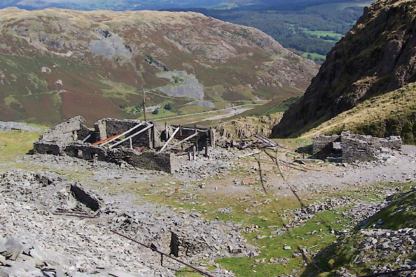 BTN54.jpg Quarry buildings. (taken 8.9.2010) 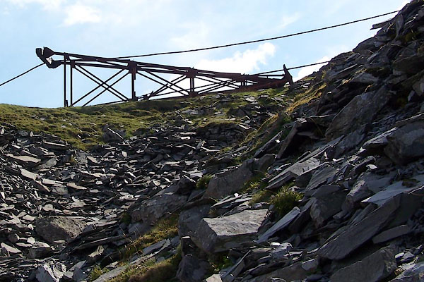 BTN57.jpg Pylon for aerial ropeway. (taken 8.9.2010) |
||
|
|
||
| evidence:- | old map:- OS County Series (Lan 4 3) placename:- Saddle Stone Quarry item:- slate |
|
| source data:- | Maps, County Series maps of Great Britain, scales 6 and 25
inches to 1 mile, published by the Ordnance Survey, Southampton,
Hampshire, from about 1863 to 1948. "Saddle Stone Quarry" |
|
|
|
||
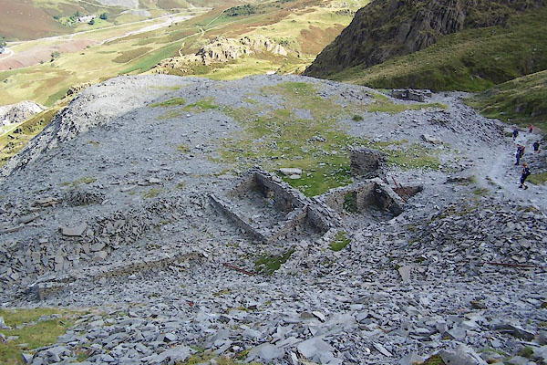 BTN53.jpg Quarry buildings. (taken 8.9.2010) 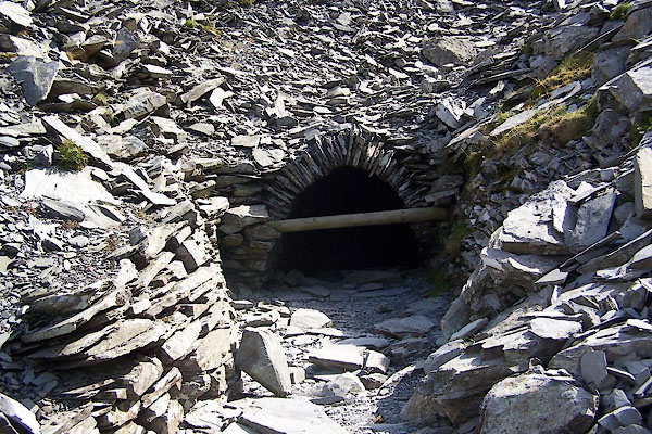 BTN55.jpg (taken 8.9.2010) 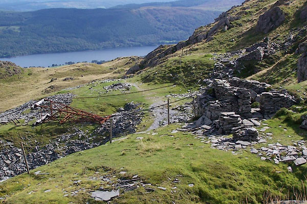 BTN56.jpg Pylon for aerial ropeway. (taken 8.9.2010) 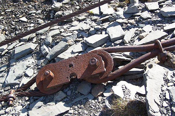 BTN58.jpg (taken 8.9.2010) 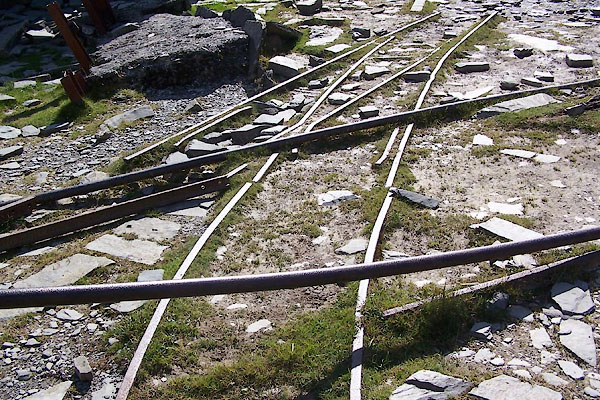 BTN59.jpg Railway track. (taken 8.9.2010) 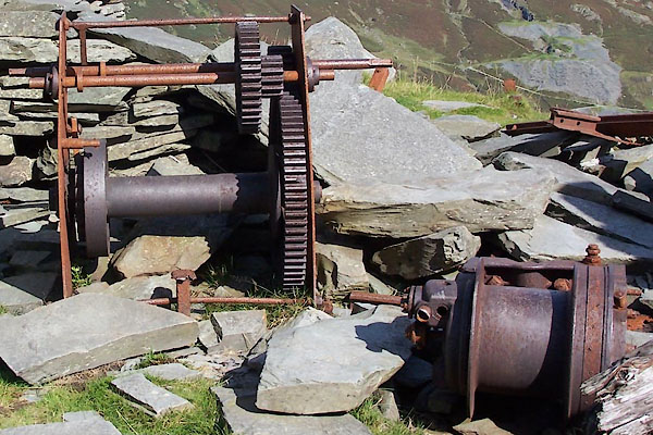 BTN60.jpg Winch, etc (taken 8.9.2010) 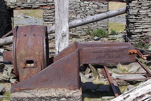 BTN61.jpg Makers:- "BRAMLEY ENGINEERING CO. ..." (taken 8.9.2010) 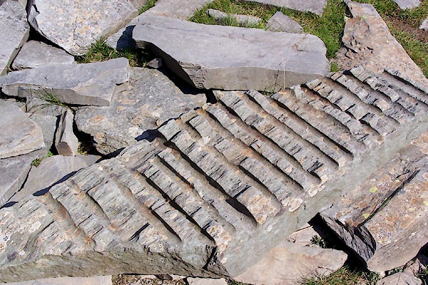 BTN62.jpg (taken 8.9.2010) 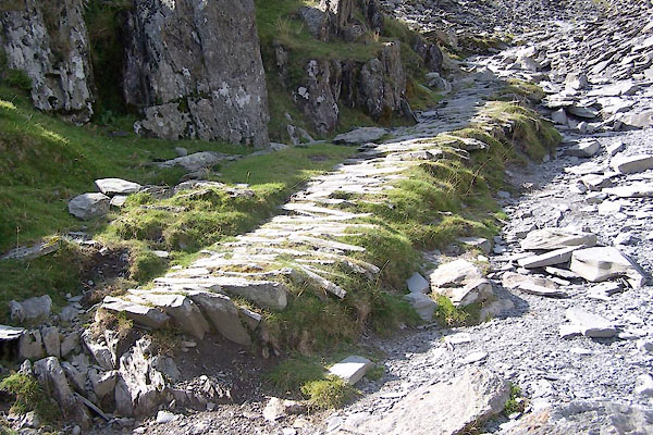 BTN63.jpg Track to quarry. (taken 8.9.2010) |
||
|
|
||
| Glover, David: 2014: Quarries of Lakeland: Bookcase (Carlisle, Cumbria) |
||
|
|
||
 Lakes Guides menu.