 Old Cumbria Gazetteer
 |
 |
|
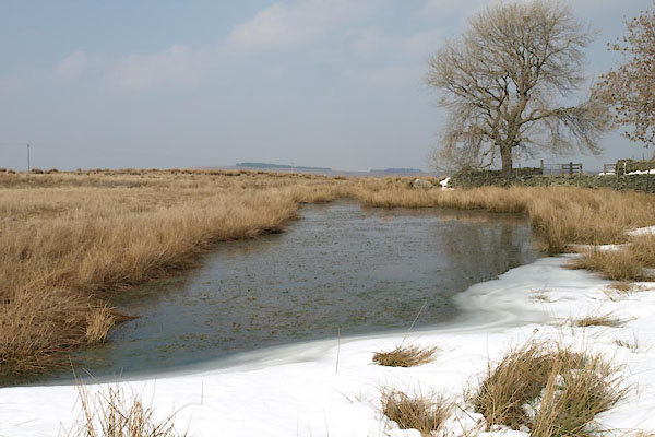
| Rough Hill Tarn, Bampton | ||
| Rough Hill Tarn | ||
| civil parish:- | Bampton (formerly Westmorland) | |
| county:- | Cumbria | |
| locality type:- | tarn | |
| coordinates:- | NY49461939 | |
| 1Km square:- | NY4919 | |
| 10Km square:- | NY41 | |
| altitude:- | 1036 feet | |
| altitude:- | 316m | |
| references:- | OS County Series |
|
|
|
||
 BYC15.jpg (taken 10.4.2013)  BYC16.jpg (taken 10.4.2013) |
||
|
|
||
| evidence:- | old map:- OS County Series (Wmd 13 3) placename:- Roughhill Tarn |
|
| source data:- | Maps, County Series maps of Great Britain, scales 6 and 25
inches to 1 mile, published by the Ordnance Survey, Southampton,
Hampshire, from about 1863 to 1948. |
|
|
|
||
 Lakes Guides menu.