 Old Cumbria Gazetteer
 |
 |
|
| Newton Place, Borrowdale | ||
| Newton Place | ||
| locality:- | Lodore | |
| civil parish:- | Borrowdale (formerly Cumberland) | |
| county:- | Cumbria | |
| locality type:- | buildings | |
| coordinates:- | NY26061827 | |
| 1Km square:- | NY2618 | |
| 10Km square:- | NY21 | |
| references:- | Garnett 1850s-60s H |
|
|
|
||
| evidence:- | old map:- OS County Series (Cmd 70 2) placename:- Newton Place |
|
| source data:- | Maps, County Series maps of Great Britain, scales 6 and 25
inches to 1 mile, published by the Ordnance Survey, Southampton,
Hampshire, from about 1863 to 1948. |
|
|
|
||
| evidence:- | old map:- Garnett 1850s-60s H placename:- Newton Place |
|
| source data:- | Map of the English Lakes, in Cumberland, Westmorland and
Lancashire, scale about 3.5 miles to 1 inch, published by John
Garnett, Windermere, Westmorland, 1850s-60s.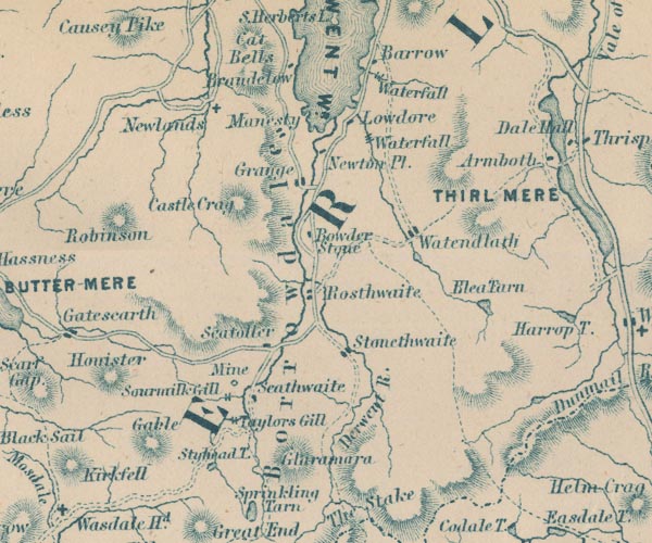 GAR2NY21.jpg "Newton Pl." block, building item:- JandMN : 82.1 Image © see bottom of page |
|
|
|
||
 Lakes Guides menu.