 Old Cumbria Gazetteer
 |
 |
|
| Moss Dub, Ennerdale | ||
| runs into:- |  Liza, River Liza, River |
|
|
|
||
| Moss Dub | ||
| locality:- | Ennerdale | |
| civil parish:- | Ennerdale and Kinniside (formerly Cumberland) | |
| county:- | Cumbria | |
| locality type:- | tarn | |
| coordinates:- | NY14581373 (etc) | |
| 1Km square:- | NY1413 | |
| 10Km square:- | NY11 | |
| altitude:- | 443 feet | |
| altitude:- | 135m | |
|
|
||
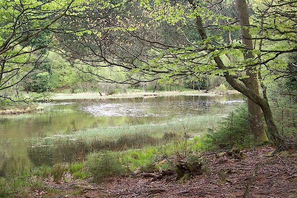 BWO18.jpg (taken 16.5.2012) 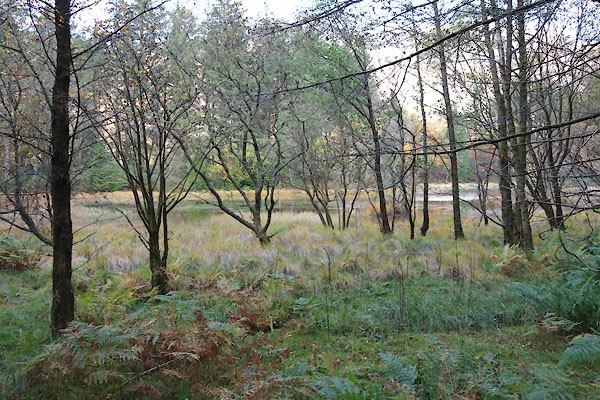 CEG01.jpg (taken 27.10.2015) |
||
|
|
||
| evidence:- | old map:- OS County Series (Cmd 69 13) placename:- Moss Dub |
|
| source data:- | Maps, County Series maps of Great Britain, scales 6 and 25
inches to 1 mile, published by the Ordnance Survey, Southampton,
Hampshire, from about 1863 to 1948. "Moss Dub" |
|
|
|
||
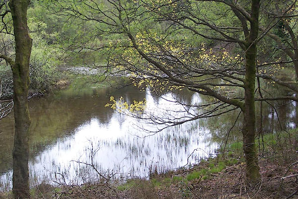 BWO19.jpg (taken 16.5.2012) |
||
|
|
||
Lakes Guides menu.