 |
 |
   |
|
|
| runs into:- |
 Ennerdale Water Ennerdale Water |
|
|
|
|
| civil parish:- |
Ennerdale and Kinniside (formerly Cumberland) |
| county:- |
Cumbria |
| locality type:- |
river |
| 1Km square:- |
NY1613 (etc) |
| 10Km square:- |
NY11 |
|
|
|
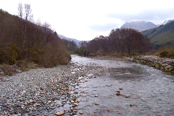
BPA56.jpg Char Dub, at the foot of the river.
(taken 16.4.2008)
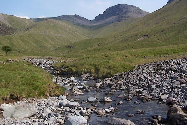
BUX46.jpg At the footbridge,
(taken 4.7.2011)
|
|
|
| evidence:- |
old map:- OS County Series (Cmd 69 14)
placename:- Liza, River
|
| source data:- |
Maps, County Series maps of Great Britain, scales 6 and 25
inches to 1 mile, published by the Ordnance Survey, Southampton,
Hampshire, from about 1863 to 1948.
|
|
|
| evidence:- |
old map:- Donald 1774 (Cmd)
placename:- Liza River
|
| source data:- |
Map, hand coloured engraving, 3x2 sheets, The County of Cumberland, scale about 1
inch to 1 mile, by Thomas Donald, engraved and published by Joseph Hodskinson, 29
Arundel Street, Strand, London, 1774.
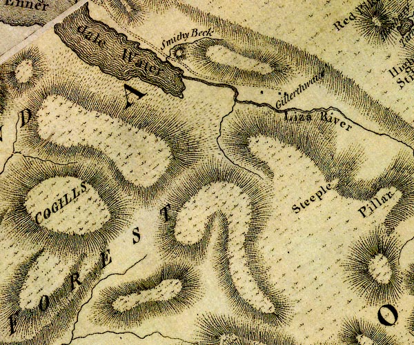
D4NY11SW.jpg
"Liza River"
single or double wiggly line; a river
item:- Carlisle Library : Map 2
Image © Carlisle Library |
|
|
| evidence:- |
descriptive text:- West 1778 (11th edn 1821)
placename:- Liza, The
|
| source data:- |
Guide book, A Guide to the Lakes, by Thomas West, published by
William Pennington, Kendal, Cumbria once Westmorland, and in
London, 1778 to 1821.
 goto source goto source
Account of Ennerdale, late 18th century
Page 293:- "..."
"... The Liza waters the base of the latter [Red Pike]; and on its margin lies an even,
level road, not formed by the hand of man, but presenting to the eye the appearance
of a pavement. ..."
|
|
|
| evidence:- |
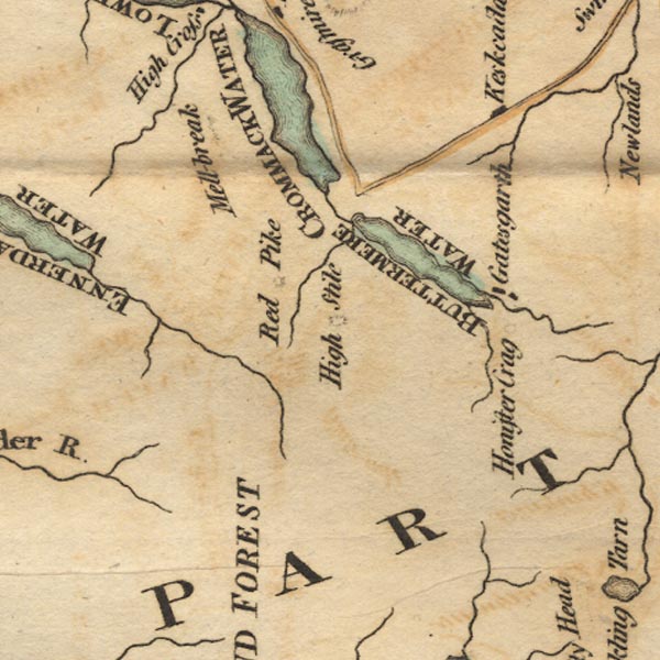
old map:- West 1784 map
|
| source data:- |
Map, hand coloured engraving, A Map of the Lakes in Cumberland,
Westmorland and Lancashire, scale about 3.5 miles to 1 inch,
engraved by Paas, 53 Holborn, London, about 1784.
Ws02NY11.jpg
item:- Armitt Library : A1221.1
Image © see bottom of page
|
|
|
| evidence:- |
old map:- Laurie and Whittle 1806
placename:- Liza River
|
| source data:- |
Road map, Completion of the Roads to the Lakes, scale about 10
miles to 1 inch, by Nathaniel Coltman? 1806, published by Robert
H Laurie, 53 Fleet Street, London, 1834.
 click to enlarge click to enlarge
Lw18.jpg
"Liza R."
river
item:- private collection : 18.18
Image © see bottom of page
|
|
|
| evidence:- |
old map:- Cooper 1808
placename:- Liza River
|
| source data:- |
Map, uncoloured engraving, Cumberland, scale about 10.5 miles to
1 inch, drawn and engraved by Cooper, published by R Phillips,
Bridge Street, Blackfriars, London, 1808.
 click to enlarge click to enlarge
COP3.jpg
"Liza R."
tapering wiggly line; river
item:- JandMN : 86
Image © see bottom of page
|
|
|
| evidence:- |
descriptive text:- Otley 1823 (5th edn 1834)
placename:- Lisa
|
| source data:- |
Guide book, A Concise Description of the English Lakes, the
mountains in their vicinity, and the roads by which they may be
visited, with remarks on the mineralogy and geology of the
district, by Jonathan Otley, published by the author, Keswick,
Cumberland now Cumbria, by J Richardson, London, and by Arthur
Foster, Kirkby Lonsdale, Cumbria, 1823; published 1823-49,
latterly as the Descriptive Guide to the English Lakes.
 goto source goto source
Page 41:- "The water flowing from the north side of Gable has a long meandering stream down Ennerdale; it is called the Lisa till it enters the lake; afterwards it is the Ehen till it falls into the sea half way between Ravenglass and St. Bees. ..."
|
|
|
| evidence:- |
descriptive text:- Ford 1839 (3rd edn 1843)
placename:- Liza, The
|
| source data:- |
Guide book, A Description of Scenery in the Lake District, by
Rev William Ford, published by Charles Thurnam, Carlisle, by W
Edwards, 12 Ave Maria Lane, Charles Tilt, Fleet Street, William
Smith, 113 Fleet Street, London, by Currie and Bowman,
Newcastle, by Bancks and Co, Manchester, by Oliver and Boyd,
Edinburgh, and by Sinclair, Dumfries, 1839.
 goto source goto source
Page 80:- "... A mile and a half from the water [Ennerdale Water] is the lonely farm of Gillerthwaite;
whence you may pursue the Liza (once the channel of a dreadful water-spout) in a course
of five miles to its source in Great Gable, which lies at the head of the valley."
"'A mountain-valley in its blessed breast
Receives the stream, which their (sic) delights to ie,
Untroubled and at rest,
Beneath the untainted sky,
Where in a lovely lake it seems to sleep.'"
|
|
|
| evidence:- |
old map:- Garnett 1850s-60s H
placename:- Liza, River
|
| source data:- |
Map of the English Lakes, in Cumberland, Westmorland and
Lancashire, scale about 3.5 miles to 1 inch, published by John
Garnett, Windermere, Westmorland, 1850s-60s.
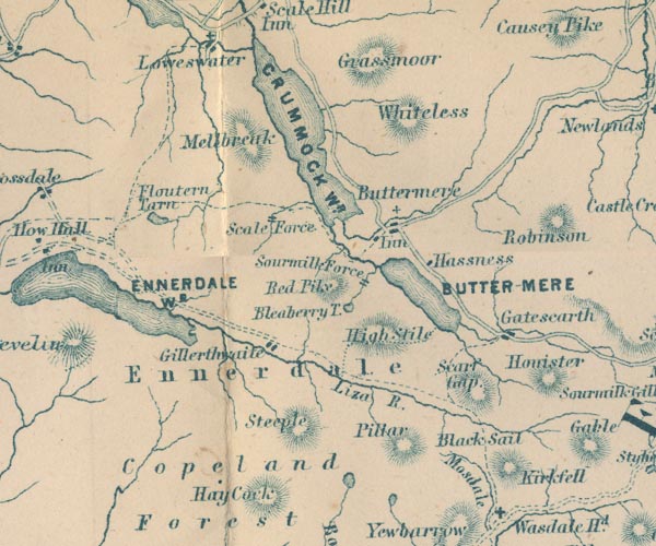
GAR2NY11.jpg
"Liza R."
wiggly line, river
item:- JandMN : 82.1
Image © see bottom of page
|
|
|
| evidence:- |
old print:- Pyne 1853
|
| source data:- |
Print, tinted lithograph, Crummock Water, The Vales of Ennerdale and Buttermere, Cumberland,
by James Baker Pyne, engraved by W Gauci, published by Thomas Agnew and Sons, Manchester,
Lancashire, 1853.
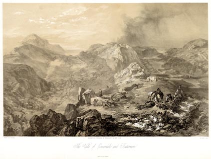 click to enlarge click to enlarge
PYN221.jpg
"PAINTED BY J. B. PYNE. / W. GAUCI LITH. / MANCHESTER, PUBLISHED BY THOMAS AGNEW &
SONS, 1853. / The Vales of Ennerdale and Buttermere / M & N HANHART IMPT."
item:- Armitt Library : A6678.22
Image © see bottom of page
|
|
|
| evidence:- |
old print:- Pyne 1853
|
| source data:- |
Print, coloured lithograph, Crummock Water, The Vales of Ennerdale and Buttermere,
Cumberland, by James Baker Pyne, engraved by W Gauci, published by Thomas Agnew and
Sons, Manchester, Lancashire, 1853.
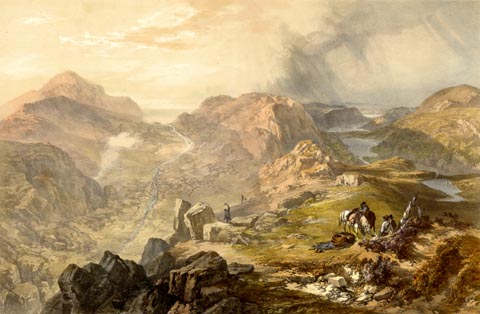 click to enlarge click to enlarge
PYN421.jpg
item:- Armitt Library : A6677.22
Image © see bottom of page
|
|
|
| evidence:- |
probably old print:- Pyne 1853
|
| source data:- |
Drawn by James Barker Pyne, 1848-1853, lithographed by T Picken, 1859.
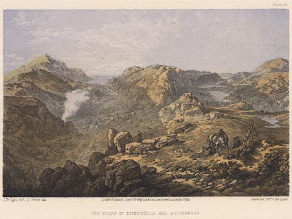 click to enlarge click to enlarge
PY15.jpg
"Vales of Ennerdale and Buttermere"
item:- JandMN : 97.14
Image © see bottom of page
|
|
|
|
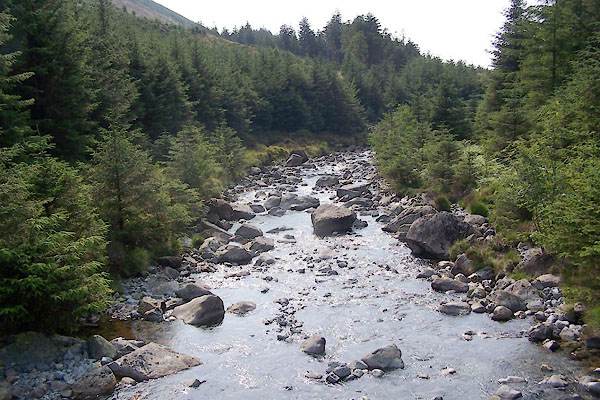
BUX49.jpg At the footbridge,
(taken 4.7.2011)
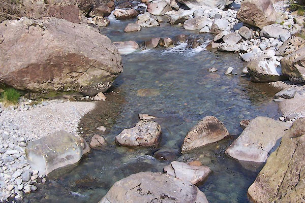
BUX50.jpg At the footbridge,
(taken 4.7.2011)
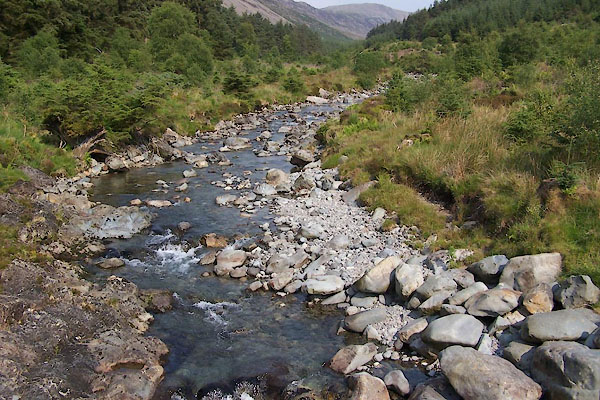
BUX55.jpg At the bridge,
(taken 4.7.2011)
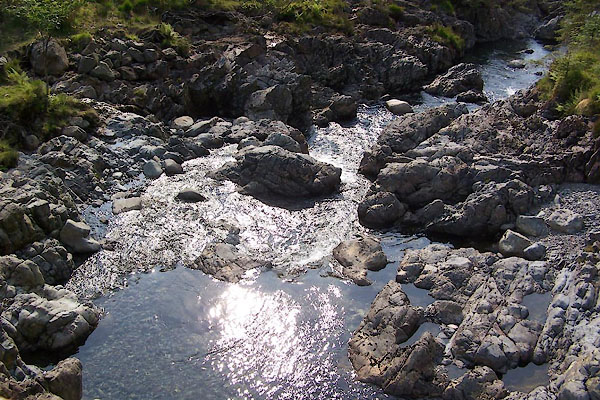
BUX56.jpg At the bridge,
(taken 4.7.2011)
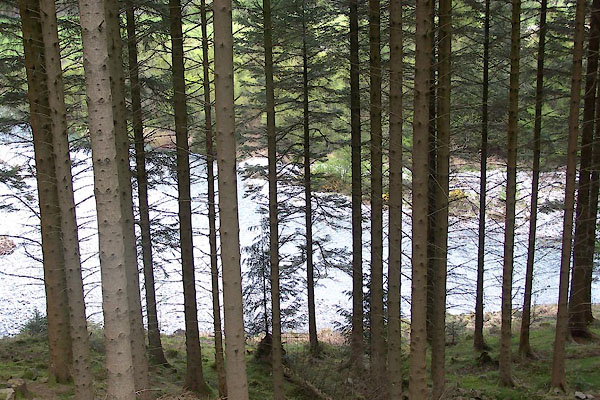
BWO16.jpg (taken 16.5.2012)
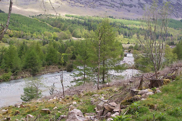
BWO17.jpg (taken 16.5.2012)
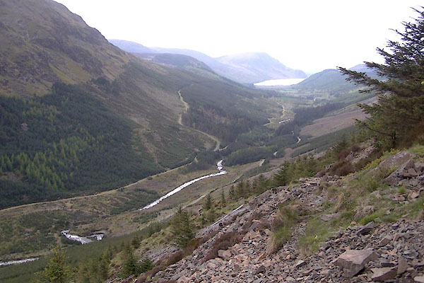
BWO32.jpg (taken 16.5.2012)
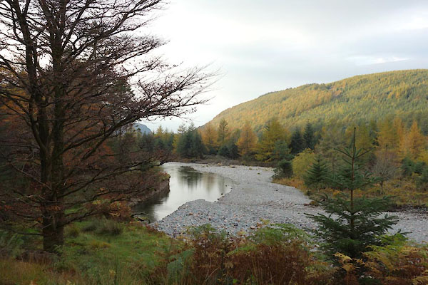
CEG02.jpg (taken 27.10.2015)
|
|
|
| places:- |
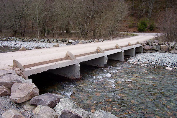 |
NY13071422 bridge, Ennerdale and Kinniside (Ennerdale and Kinniside) |
|
|
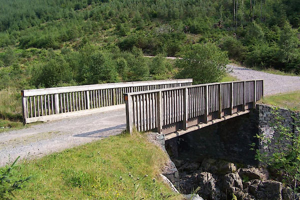 |
NY16511351 bridge, Ennerdale and Kinniside (2) (Ennerdale and Kinniside) |
|
|
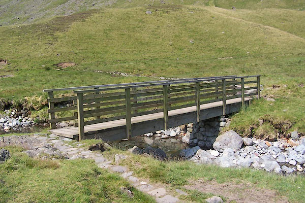 |
NY19691209 footbridge, Ennerdale (5) (Ennerdale and Kinniside) |
|
|
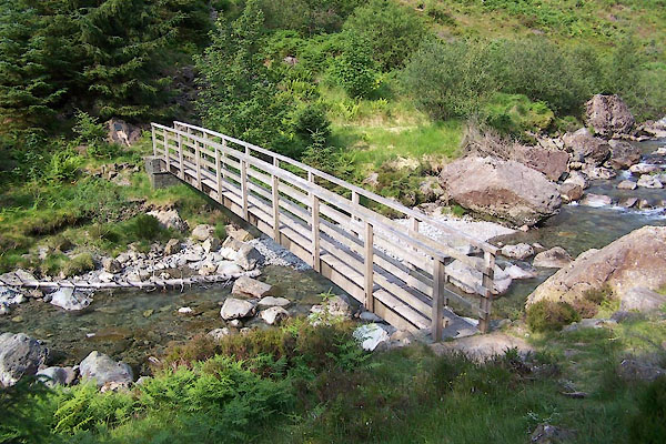 |
NY17581318 footbridge, Ennerdale (6) (Ennerdale and Kinniside) |
|


 Ennerdale Water


 goto source
 click to enlarge
 click to enlarge
 goto source
 goto source
 click to enlarge
 click to enlarge
 click to enlarge


