 Old Cumbria Gazetteer
 |
 |
|
| Molds Turnpike, Kaber | ||
| Molds Turnpike | ||
| site name:- | road, Brough to Reeth | |
| locality:- | Molds Hill | |
| locality:- | Kaber Fell | |
| civil parish:- | Kaber (formerly Westmorland) | |
| county:- | Cumbria | |
| locality type:- | toll gate (site) | |
| locality type:- | toll house (ruin) | |
| coordinates:- | NY87720857 | |
| 1Km square:- | NY8708 | |
| 10Km square:- | NY80 | |
| references:- | OS County Series |
|
|
|
||
| MN photo:- |
Not untypical weather on Stainmore. The toll house is attached to a sheepfold; perhaps
it was a shepherd's hut as well. |
|
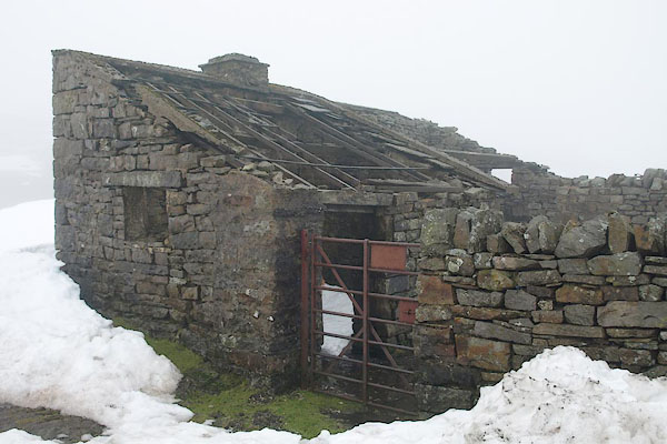 BRZ77.jpg (taken 22.1.2010) 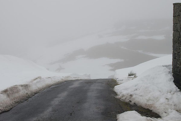 BRZ82.jpg Toll gate site, top of Molds Hill. (taken 22.1.2010) |
||
|
|
||
| evidence:- | old map:- OS County Series (Wmd 24) |
|
| source data:- | Maps, County Series maps of Great Britain, scales 6 and 25
inches to 1 mile, published by the Ordnance Survey, Southampton,
Hampshire, from about 1863 to 1948. "Molds T.P." |
|
|
|
||
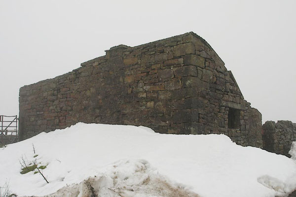 BRZ78.jpg (taken 22.1.2010) 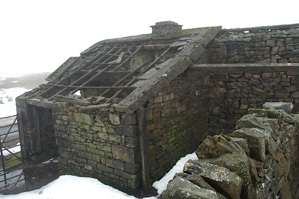 BRZ79.jpg (taken 22.1.2010) 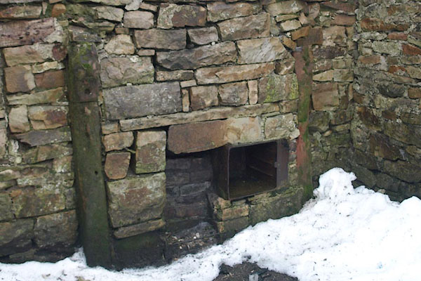 BRZ80.jpg Fire grate and oven. (taken 22.1.2010) 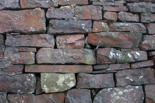 BRZ81.jpg Walling. (taken 22.1.2010) |
||
|
|
||
| also see:- |  sheepfold, Molds Hill sheepfold, Molds Hill |
|
|
|
||
Lakes Guides menu.