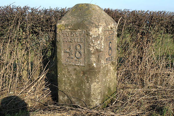


BSE06.jpg Cast iron plates on stone:-
"TO NEW / CASTLE / 48 / MILES" "TO CAR / LISLE / 8 / MILES" (taken 19.2.2010)
"M.S Carlisle .. 8 Newcastle .. 48"

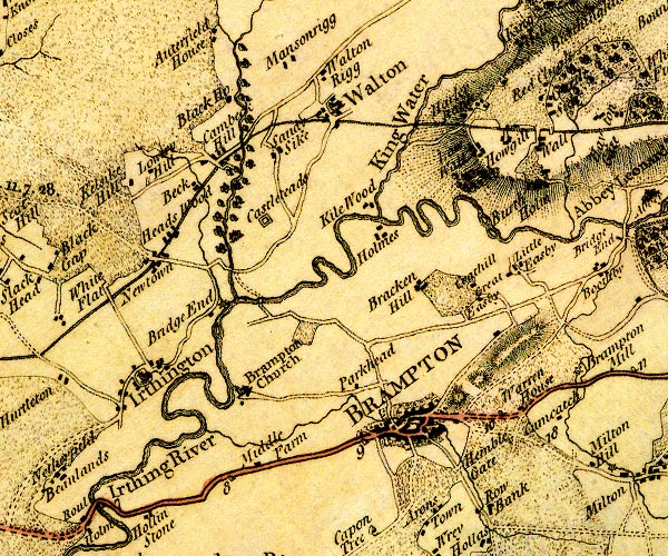
D4NY56SW.jpg
"8"
milestone; from Carlisle towards Newcastle
item:- Carlisle Library : Map 2
Image © Carlisle Library
courtesy of English Heritage
"MILESTONE AT NGR NY 50500 60380 / / B6264 (WEST OF MIDDLE FARM) / BRAMPTON / CARLISLE / CUMBRIA / II / 77795 / NY5059660391"
courtesy of English Heritage
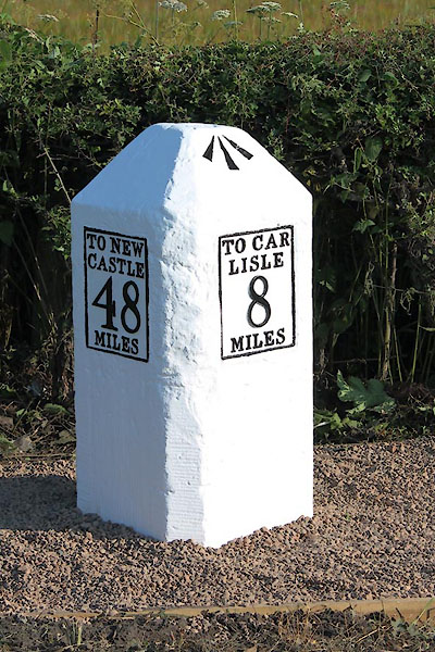
"Milestone. Probably 1758, for the Carlisle-Newcastle Military Road. Sandstone, cast-iron plates. Chamfered stone to give 2 faces in direction of traffic, one face with cast plate TO CARLISLE 8 MILES, other face TO NEWCASTLE 48 MILES, both in 4 lines. Whitewashed over and lettering picked out in black. This became the Carlisle-Temon Turnpike in 1811. Each milestone is clearly drawn on Hodgskinson &Donald's map of Cumberland Westmorland, surveyed 1770."

CEL78.jpg Cast iron plates on stone:-
"TO NEW / CASTLE / 48 / MILES" "TO CAR / LISLE / 8 / MILES" (taken 7.2013) courtesy of Terry Moore
Image © Terry Moore

 Lakes Guides menu.