 Old Cumbria Gazetteer
 |
 |
|
| Liddel Viaduct, Kirkandrews | ||
| Liddel Viaduct | ||
| site name:- | Liddel Water | |
| site name:- | Border Union Railway | |
| civil parish:- | Kirkandrews (formerly Cumberland) | |
| county:- | Cumbria | |
| locality type:- | railway viaduct | |
| locality type:- | viaduct | |
| coordinates:- | NY41057551 | |
| coordinates:- | NY41097564 | |
| 1Km square:- | NY4175 | |
| 10Km square:- | NY47 | |
| country:- | Scotland | |
|
|
||
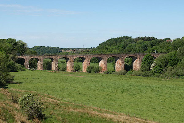 BSV80.jpg (taken 4.6.2010) |
||
|
|
||
| evidence:- | old map:- OS County Series (Cmd 6 4) placename:- Liddel Viaduct |
|
| source data:- | Maps, County Series maps of Great Britain, scales 6 and 25
inches to 1 mile, published by the Ordnance Survey, Southampton,
Hampshire, from about 1863 to 1948.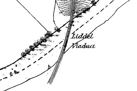 click to enlarge click to enlargeCSRY0037.jpg "Liddel Viaduct" |
|
|
|
||
| evidence:- | database:- Listed Buildings 2010 placename:- Riddings Junction Viaduct |
|
| source data:- | courtesy of English Heritage "RIDDINGS JUNCTION VIADUCT / / / KIRKANDREWS / CARLISLE / CUMBRIA / II[star] / 461958 / NY4107275585" |
|
| source data:- | courtesy of English Heritage "Railway viaduct, presently disused. 1864, with minor late C20 alterations. Built for the North British Railway. Rock-faced red sandstone structure, comprised of 9 sharply-skewed arches with channelled ashlar voussoirs, the channelling carried diagonally across the arch soffits. The arches are supported on tapered rectangular piers. C20 brick parapets with concrete copings and handrail. The curved viaduct carried a single line track over Liddell Water, the centre of which represents the border between England and Scotland. The Scottish part of the viaduct lies in the parish of Canonbie, in the district of Annandale and Eskdale." |
|
|
|
||
 Lakes Guides menu.