 Old Cumbria Gazetteer
 |
 |
|
| Friar Waingate Bridge, Kingwater | ||
| Friar Waingate Bridge | ||
| site name:- | King Water | |
| civil parish:- | Kingwater (formerly Cumberland) | |
| civil parish:- | Burtholme (formerly Cumberland) | |
| county:- | Cumbria | |
| locality type:- | bridge | |
| coordinates:- | NY55446677 | |
| 1Km square:- | NY5566 | |
| 10Km square:- | NY56 | |
|
|
||
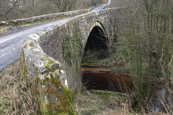 BSE80.jpg (taken 19.2.2010) 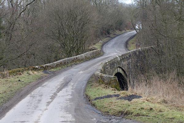 BSE82.jpg (taken 19.2.2010) |
||
|
|
||
| evidence:- | old map:- OS County Series (Cmd 12 6) placename:- Friar Waingate Bridge |
|
| source data:- | Maps, County Series maps of Great Britain, scales 6 and 25
inches to 1 mile, published by the Ordnance Survey, Southampton,
Hampshire, from about 1863 to 1948. |
|
|
|
||
| evidence:- | old map:- Bell 1892 placename:- Friarwaingate Bridge |
|
| source data:- | Map, colour lithograph, Road Map of Cumberland, by George Joseph
Bell, scale about 2.5 miles to 1 inch, printed by Charles
Thurnam and Sons, Carlisle, Cumberland, 1892.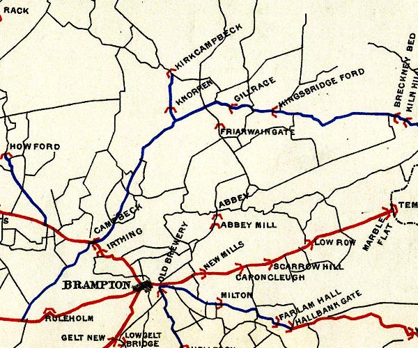 BEL9NY56.jpg "FRIARWAINGATE" bridge symbol Road map of Cumberland showing County Bridges item:- Carlisle Library : Map 38 Image © Carlisle Library |
|
|
|
||
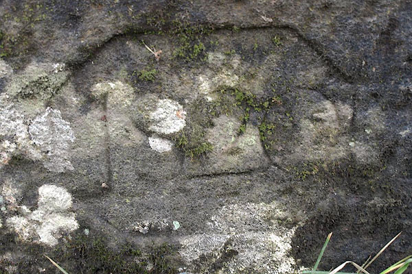 BSE81.jpg Illegible date:- "18[20]" (taken 19.2.2010) |
||
|
|
||
 Lakes Guides menu.