Old Cumbria Gazetteer
 |
 |
|
||
| King Water | ||||
| runs into:- |  Irthing, River Irthing, River |
|||
|
|
||||
| civil parish:- | Kingwater (formerly Cumberland) | |||
| civil parish:- | Walton (formerly Cumberland) | |||
| civil parish:- | Burtholme (formerly Cumberland) | |||
| county:- | Cumbria | |||
| locality type:- | river | |||
| locality type:- | boundary | |||
| locality type:- | parish boundary | |||
| 1Km square:- | NY5466 (etc etc) | |||
| 10Km square:- | NY56 | |||
|
|
||||
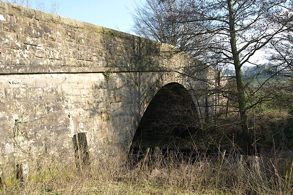
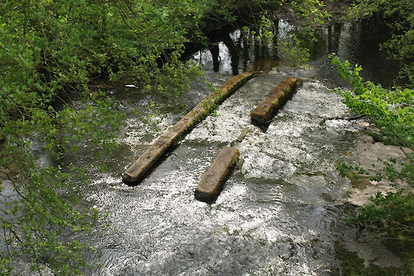
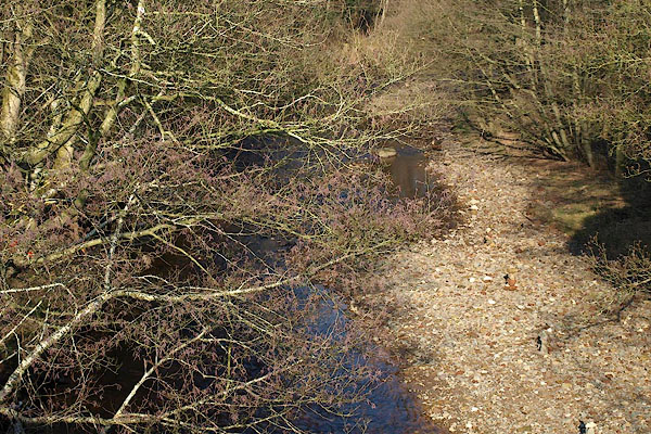 BSE17.jpg (taken 19.2.2010) 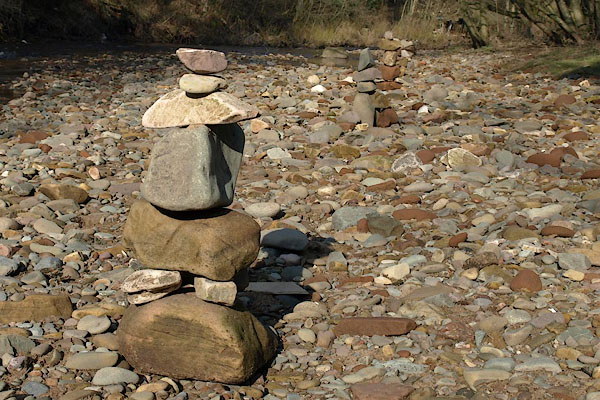 BSE18.jpg Someone has built a straight row of near a dozen little piles of stones. ... There's an interesting selection of rock types in the river bed. (taken 19.2.2010) |
||||
|
|
||||
| evidence:- | old map:- OS County Series (Cmd 8 12) placename:- King Water |
|||
| source data:- | Maps, County Series maps of Great Britain, scales 6 and 25
inches to 1 mile, published by the Ordnance Survey, Southampton,
Hampshire, from about 1863 to 1948. OS County Series (Cmd 8 16) OS County Series (Cmd 12 6) OS County Series (Cmd 12 9) OS County Series (Cmd 12 13) |
|||
| source data:- | Maps, County Series maps of Great Britain, scales 6 and 25
inches to 1 mile, published by the Ordnance Survey, Southampton,
Hampshire, from about 1863 to 1948. enters the River Irthing |
|||
|
|
||||
| evidence:- | old map:- Donald 1774 (Cmd) placename:- King Water |
|||
| source data:- | Map, hand coloured engraving, 3x2 sheets, The County of Cumberland, scale about 1
inch to 1 mile, by Thomas Donald, engraved and published by Joseph Hodskinson, 29
Arundel Street, Strand, London, 1774.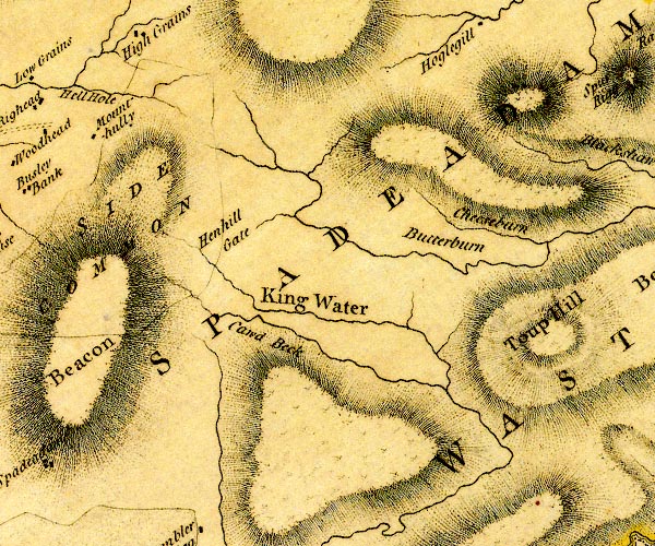 D4NY67SW.jpg "King Water" 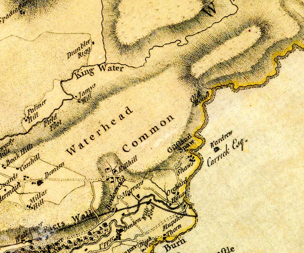 D4NY66NW.jpg "King Water" 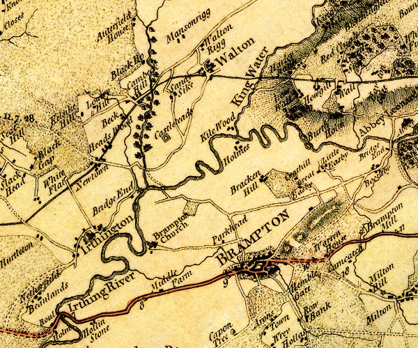 D4NY56SW.jpg "King Water" single or double wiggly line; a river item:- Carlisle Library : Map 2 Images © Carlisle Library |
|||
|
|
||||
| evidence:- | old map:- Cooper 1808 placename:- King Water |
|||
| source data:- | Map, uncoloured engraving, Cumberland, scale about 10.5 miles to
1 inch, drawn and engraved by Cooper, published by R Phillips,
Bridge Street, Blackfriars, London, 1808. click to enlarge click to enlargeCOP3.jpg "King W." tapering wiggly line; river, and outline, shaded; lake item:- JandMN : 86 Image © see bottom of page |
|||
|
|
||||
| evidence:- | descriptive text:- Ford 1839 (3rd edn 1843) placename:- Kingwater |
|||
| source data:- | Guide book, A Description of Scenery in the Lake District, by
Rev William Ford, published by Charles Thurnam, Carlisle, by W
Edwards, 12 Ave Maria Lane, Charles Tilt, Fleet Street, William
Smith, 113 Fleet Street, London, by Currie and Bowman,
Newcastle, by Bancks and Co, Manchester, by Oliver and Boyd,
Edinburgh, and by Sinclair, Dumfries, 1839. goto source Page 108:- "... Kingwater, over which there is a long wooden bridge; this water rises in a dreary waste; its" goto sourcePage 109:- "banks are fertile, but the ridges which bound it on the north, or separate it from the Irthing, parallel to which it flows for some distance, are naked, cold, and uninviting. ..." |
|||
|
|
||||
| evidence:- | old map:- Ford 1839 map placename:- King Water |
|||
| source data:- | Map, uncoloured engraving, Map of the Lake District of
Cumberland, Westmoreland and Lancashire, scale about 3.5 miles
to 1 inch, published by Charles Thurnam, Carlisle, and by R
Groombridge, 5 Paternoster Row, London, 3rd edn 1843.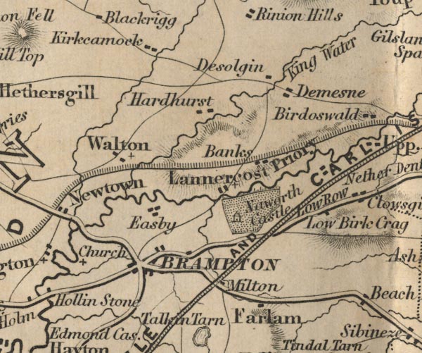 FD02NY56.jpg "King Water" item:- JandMN : 100.1 Image © see bottom of page |
|||
|
|
||||
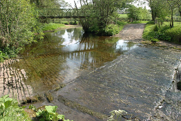
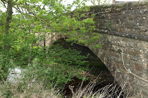
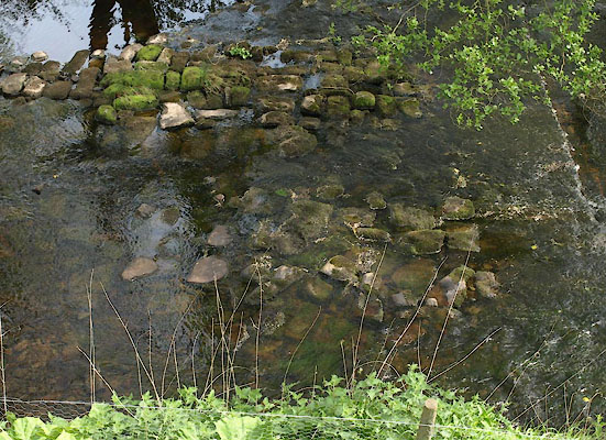
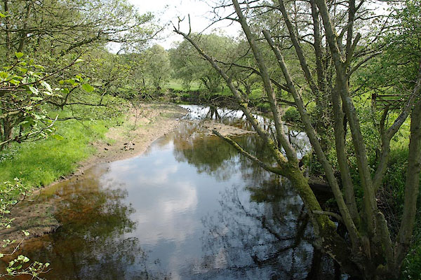 BSW49.jpg At the ford near West Hall, (taken 4.6.2010) |
||||
|
|
||||
| places:- |
|
|||
|
||||
|
||||
|
||||
|
||||
|
||||
Lakes Guides menu.