 Old Cumbria Gazetteer
 |
 |
|
| Fordingdale Force, Bampton | ||
| Fordingdale Force | ||
| site name:- | Measand Beck | |
| locality:- | Force Crag | |
| locality:- | Bampton Common | |
| civil parish:- | Bampton (formerly Westmorland) | |
| county:- | Cumbria | |
| locality type:- | waterfall | |
| coordinates:- | NY47041582 | |
| 1Km square:- | NY4715 | |
| 10Km square:- | NY41 | |
|
|
||
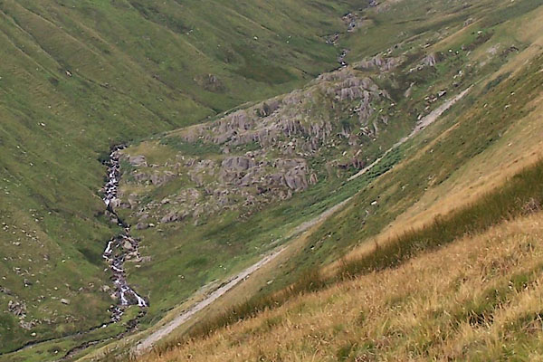 BTH97.jpg Force Crag. (taken 11.8.2010) |
||
|
|
||
| evidence:- | old map:- OS County Series (Wmd 13 10) placename:- Fordingdale Force |
|
| source data:- | Maps, County Series maps of Great Britain, scales 6 and 25
inches to 1 mile, published by the Ordnance Survey, Southampton,
Hampshire, from about 1863 to 1948. |
|
|
|
||
| evidence:- | probably old print:- Green 1790s-1820s |
|
| source data:- | Print, uncoloured aquatint, Waterfall on Fordingdale Beck, perhaps Fordingdale Force,
Bampton, Westmorland, drawn, engraved and published by William Green, Ambleside, Westmorland,
1804.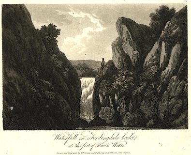 click to enlarge click to enlargePR0519.jpg Plate 38 from some series. printed at bottom:- "Waterfall on Fordingdale beck, at the foot of Hawes Water. / Drawn and Engraved by Wm. Green, and published at Ambleside, June 24, 1804." item:- Dove Cottage : 2008.107.468 Image © see bottom of page |
|
|
|
||
| MN photo:- |
Series of photos taken walking up beside the stream. |
|
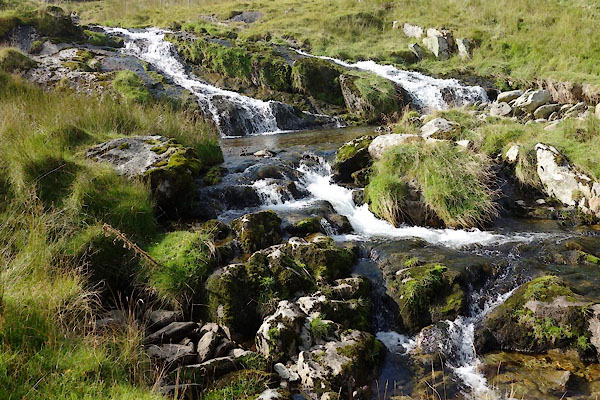 BZK46.jpg (taken 29.9.2013) 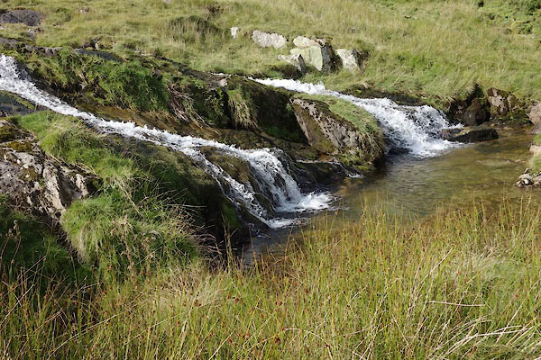 BZK47.jpg (taken 29.9.2013) 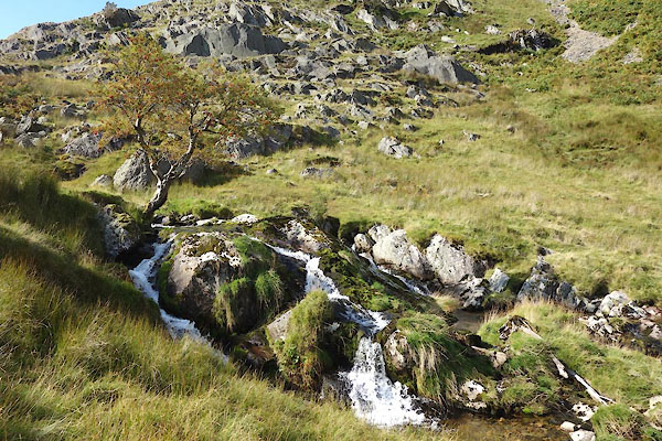 BZK48.jpg (taken 29.9.2013) 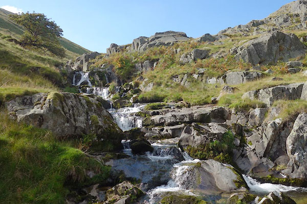 BZK49.jpg (taken 29.9.2013) 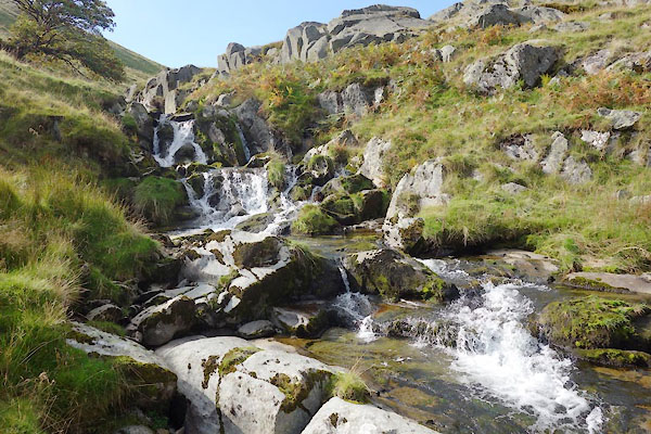 BZK50.jpg (taken 29.9.2013) 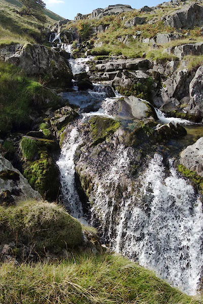 BZK51.jpg (taken 29.9.2013) 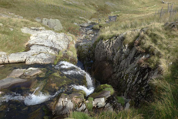 BZK52.jpg Looking down at the top. (taken 29.9.2013) |
||
|
|
||
 Lakes Guides menu.