 Old Cumbria Gazetteer
 |
 |
|
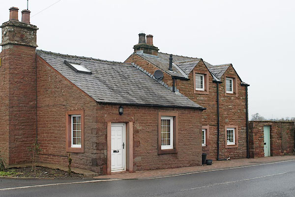
| Edenhall Cottage, Langwathby | ||
| Edenhall Cottage | ||
| Edenhall Turnpike | ||
| site name:- | road, Penrith to Alston | |
| civil parish:- | Langwathby (formerly Cumberland) | |
| county:- | Cumbria | |
| locality type:- | buildings | |
| locality type:- | toll house (once) | |
| locality type:- | toll gate (site) | |
| coordinates:- | NY56353321 | |
| 1Km square:- | NY5633 | |
| 10Km square:- | NY53 | |
|
|
||
 BSC64.jpg (taken 5.2.2010) 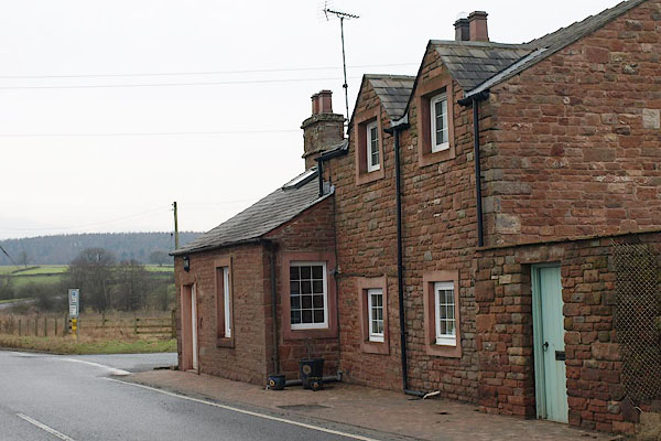 BSC65.jpg (taken 5.2.2010) |
||
|
|
||
| evidence:- | old map:- OS County Series (Cmd 50 10) placename:- Edenhall TP |
|
| source data:- | Maps, County Series maps of Great Britain, scales 6 and 25
inches to 1 mile, published by the Ordnance Survey, Southampton,
Hampshire, from about 1863 to 1948. "Edenhall T.P." at a cross roads; a building, but no gates |
|
|
|
||
 Lakes Guides menu.