 Old Cumbria Gazetteer
 |
 |
|
| Dub Bridge, Weddicar | ||
| Dub Bridge | ||
| site name:- | Dub Beck | |
| civil parish:- | Weddicar (formerly Cumberland) | |
| civil parish:- | Arlecdon and Frizington (formerly Cumberland) | |
| county:- | Cumbria | |
| locality type:- | bridge | |
| coordinates:- | NY01121687 | |
| 1Km square:- | NY0116 | |
| 10Km square:- | NY01 | |
|
|
||
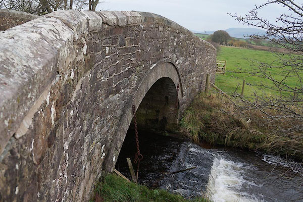 CBZ31.jpg (taken 31.10.2014) |
||
|
|
||
| evidence:- | old map:- OS County Series (Cmd 67 7) placename:- Dub Bridge |
|
| source data:- | Maps, County Series maps of Great Britain, scales 6 and 25
inches to 1 mile, published by the Ordnance Survey, Southampton,
Hampshire, from about 1863 to 1948. "Dub Br." |
|
|
|
||
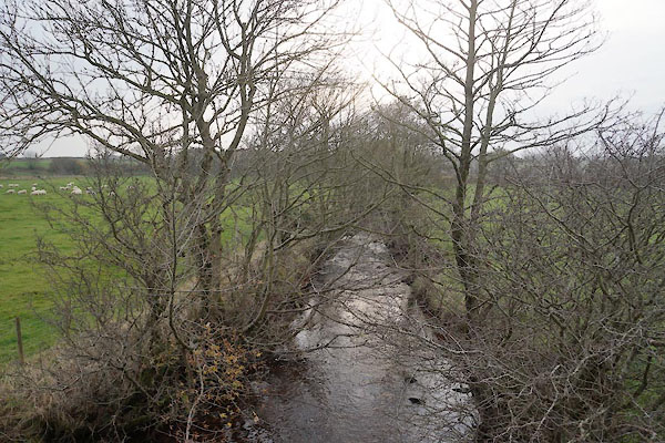 CBZ32.jpg View of river. (taken 31.10.2014) |
||
|
|
||
 Lakes Guides menu.