button to main menu  Old Cumbria Gazetteer
Dub Beck
runs into:-    Keekle, River

civil parish:-   Weddicar (formerly Cumberland)
civil parish:-   Arlecdon and Frizington (formerly Cumberland)
county:-   Cumbria
locality type:-   river
locality type:-   boundary
locality type:-   parish boundary
1Km square:-   NY0218 (etc) 
10Km square:-   NY01


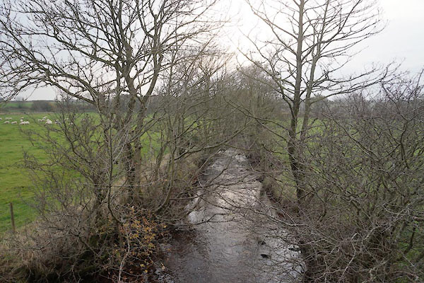
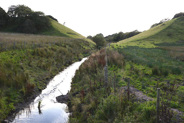
photograph
CBZ32.jpg  At Dub Bridge,
(taken 31.10.2014)  
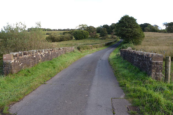
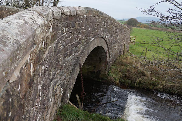
photograph
CGO25.jpg  At Dubbeck Bridge,
(taken 15.9.2017)  

evidence:-   old map:- OS County Series (Cmd 67 4) 
placename:-  Dub Beck
source data:-   Maps, County Series maps of Great Britain, scales 6 and 25 inches to 1 mile, published by the Ordnance Survey, Southampton, Hampshire, from about 1863 to 1948.
OS County Series (Cmd 67 8) 

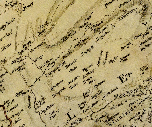
evidence:-   old map:- Donald 1774 (Cmd) 
source data:-   Map, hand coloured engraving, 3x2 sheets, The County of Cumberland, scale about 1 inch to 1 mile, by Thomas Donald, engraved and published by Joseph Hodskinson, 29 Arundel Street, Strand, London, 1774.
image
D4NY01NW.jpg
single or double wiggly line; a river into the Keekle 
item:-  Carlisle Library : Map 2
Image © Carlisle Library
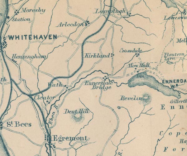
evidence:-   old map:- Garnett 1850s-60s H
source data:-   Map of the English Lakes, in Cumberland, Westmorland and Lancashire, scale about 3.5 miles to 1 inch, published by John Garnett, Windermere, Westmorland, 1850s-60s.
image
GAR2NY01.jpg
wiggly line, river 
item:-  JandMN : 82.1
Image © see bottom of page
places:-  
NY01121687 Dub Bridge (Weddicar / Arlecdon and Frizington)
NY04682003 Dubbeck Bridge (Arlecdon and Frizington)
NY02331775 mill, Millyeat (Arlecdon and Frizington)
NY01461726 mill, Weddicar (2) (Weddicar)
NY04591996 railway culvert, Arlecdon and Frizington (Arlecdon and Frizington)
NY03211878 Routon Bridge (Arlecdon and Frizington / Weddicar)
button to lakes menu  Lakes Guides menu.