 Old Cumbria Gazetteer
 |
 |
|
| Charley Fold, Whicham | ||
| Charley Fold | ||
| locality:- | Black Combe | |
| civil parish:- | Whicham (formerly Cumberland) | |
| county:- | Cumbria | |
| locality type:- | sheepfold | |
| coordinates:- | SD13778662 | |
| 1Km square:- | SD1386 | |
| 10Km square:- | SD18 | |
| references:- | OS County Series |
|
|
|
||
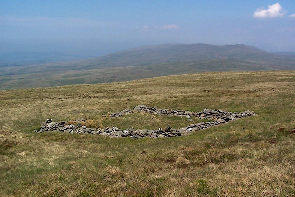 BWQ74.jpg (taken 27.5.2012) 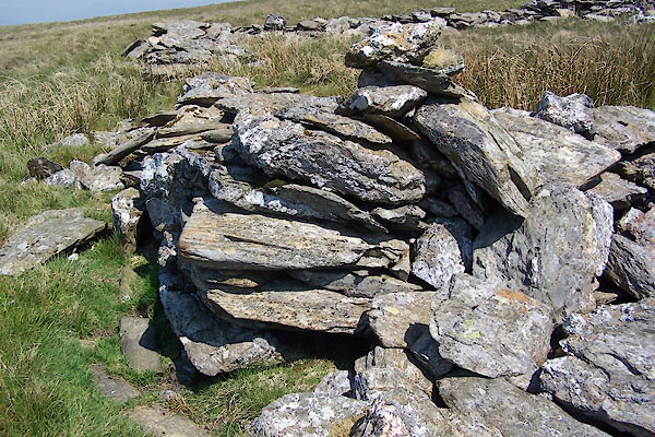 BWQ76.jpg (taken 27.5.2012) |
||
|
|
||
| evidence:- | old map:- OS County Series (Cmd 88 1) placename:- Charley Fold |
|
| source data:- | Maps, County Series maps of Great Britain, scales 6 and 25
inches to 1 mile, published by the Ordnance Survey, Southampton,
Hampshire, from about 1863 to 1948. "Charley Fold" |
|
|
|
||
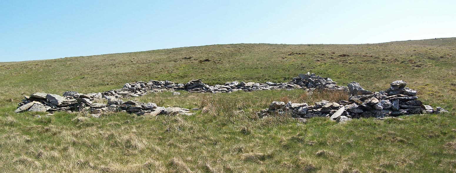 Click to enlarge BWQ75.jpg (taken 27.5.2012) |
||
|
|
||
 Lakes Guides menu.