 Old Cumbria Gazetteer
 |
 |
|
| Caw Quarry, Coniston | ||
| Caw Quarry | ||
| civil parish:- | Coniston (formerly Lancashire) | |
| county:- | Cumbria | |
| locality type:- | slate quarry | |
| locality type:- | quarry | |
| coordinates:- | SD22849488 (approx) | |
| 1Km square:- | SD2294 | |
| 10Km square:- | SD29 | |
|
|
||
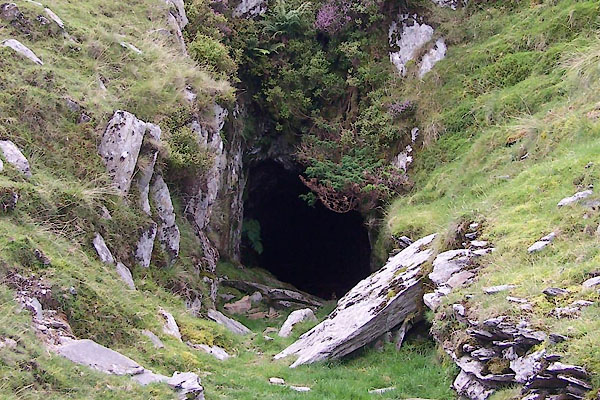 BTL68.jpg (taken 25.8.2010) |
||
|
|
||
| evidence:- | old map:- OS County Series (Lan 4) placename:- Caw Quarry item:- slate |
|
| source data:- | Maps, County Series maps of Great Britain, scales 6 and 25
inches to 1 mile, published by the Ordnance Survey, Southampton,
Hampshire, from about 1863 to 1948. "Caw Quarry (Slate)" |
|
|
|
||
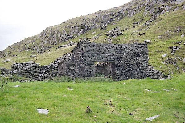 BTL69.jpg (taken 25.8.2010) 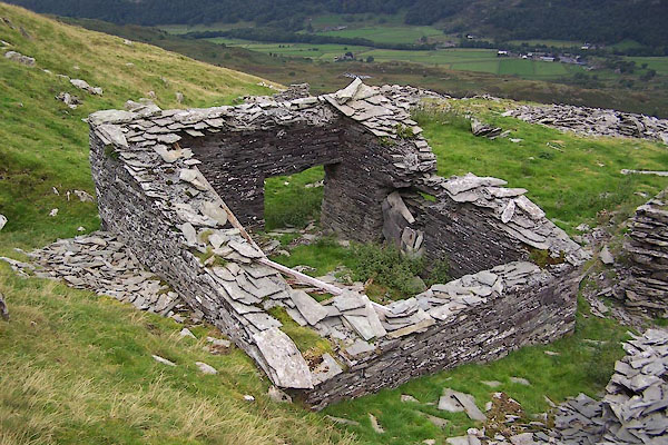 BTL70.jpg (taken 25.8.2010) 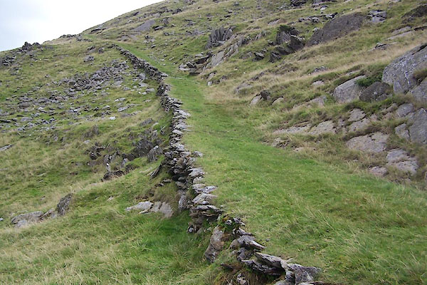 BTL67.jpg Track to the quarry, (taken 25.8.2010) |
||
|
|
||
| Glover, David: 2014: Quarries of Lakeland: Bookcase (Carlisle, Cumbria) |
||
|
|
||
 Lakes Guides menu.