 Old Cumbria Gazetteer
 |
 |
|
| Bowderthwaite Bridge, Mardale | ||
| Bowderthwaite Bridge | ||
| site name:- | Riggindale Beck | |
| locality:- | Mardale | |
| civil parish:- | Bampton (formerly Westmorland) | |
| civil parish:- | Shap (formerly Westmorland) | |
| county:- | Cumbria | |
| locality type:- | bridge | |
| coordinates:- | NY46781179 | |
| 1Km square:- | NY4611 | |
| 10Km square:- | NY41 | |
| references:- | OS County Series |
|
|
|
||
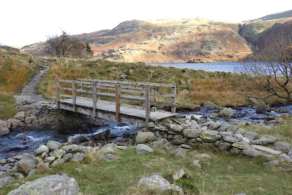 BZR14.jpg (taken 12.11.2013) |
||
|
|
||
| evidence:- | old map:- OS County Series (Wmd 20 6) placename:- Bowderthwaite Bridge |
|
| source data:- | Maps, County Series maps of Great Britain, scales 6 and 25
inches to 1 mile, published by the Ordnance Survey, Southampton,
Hampshire, from about 1863 to 1948. |
|
|
|
||
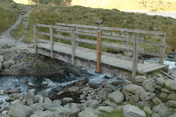 BTS02.jpg (taken 20.10.2010) |
||
|
|
||
 Lakes Guides menu.