 Old Cumbria Gazetteer
 |
 |
|
| Black Dub, Crosby Ravensworth | ||
| runs into:- |  Lyvennet Beck Lyvennet Beck |
|
|
|
||
| Black Dub | ||
| civil parish:- | Crosby Ravensworth (formerly Westmorland) | |
| county:- | Cumbria | |
| locality type:- | tarn | |
| locality type:- | spring (?) | |
| coordinates:- | NY60371080 (about) | |
| 1Km square:- | NY6010 | |
| 10Km square:- | NY61 | |
|
|
||
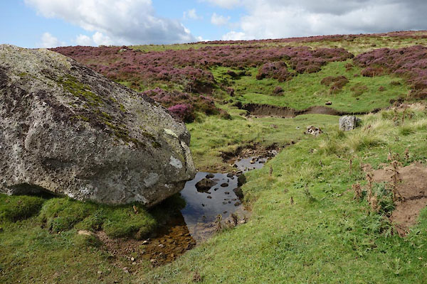 CGM01.jpg (taken 2.9.2017) 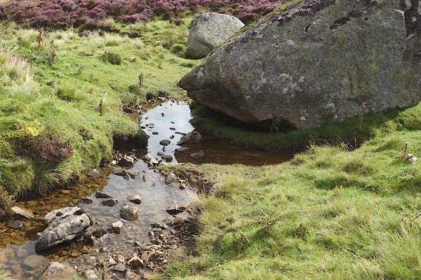 CGM03.jpg (taken 2.9.2017) |
||
|
|
||
| evidence:- | old map:- OS County Series (Wmd 21 8) placename:- Black Dub |
|
| source data:- | Maps, County Series maps of Great Britain, scales 6 and 25
inches to 1 mile, published by the Ordnance Survey, Southampton,
Hampshire, from about 1863 to 1948. "Black Dub" |
|
|
|
||
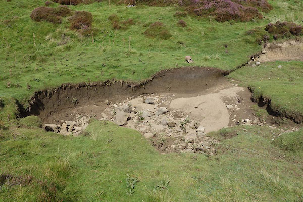 CGM02.jpg (taken 2.9.2017) |
||
|
|
||
Lakes Guides menu.