 Old Cumbria Gazetteer
 |
 |
|
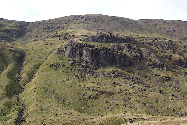
| Black Crag, Rydal | ||
| Black Crag | ||
| locality:- | Great Rigg | |
| locality:- | Rydal | |
| civil parish:- | Lakes (formerly Westmorland) | |
| county:- | Cumbria | |
| locality type:- | rocks | |
| coordinates:- | NY36081081 (etc) | |
| 1Km square:- | NY3610 | |
| 10Km square:- | NY31 | |
|
|
||
 BRS38.jpg (taken 7.10.2009) |
||
|
|
||
| evidence:- | old map:- OS County Series (Wmd 19 5) placename:- Black Crag |
|
| source data:- | Maps, County Series maps of Great Britain, scales 6 and 25
inches to 1 mile, published by the Ordnance Survey, Southampton,
Hampshire, from about 1863 to 1948. OS County Series (Wmd 19 9) |
|
|
|
||
 Lakes Guides menu.