 Old Cumbria Gazetteer
 |
 |
|
| Biggins Hall, Biggins | ||
| Biggins Hall | ||
| Street:- | Biggins Lane | |
| locality:- | High Biggins | |
| civil parish:- | Kirkby Lonsdale (formerly Westmorland) | |
| county:- | Cumbria | |
| locality type:- | buildings | |
| coordinates:- | SD60137826 | |
| 1Km square:- | SD6078 | |
| 10Km square:- | SD67 | |
|
|
||
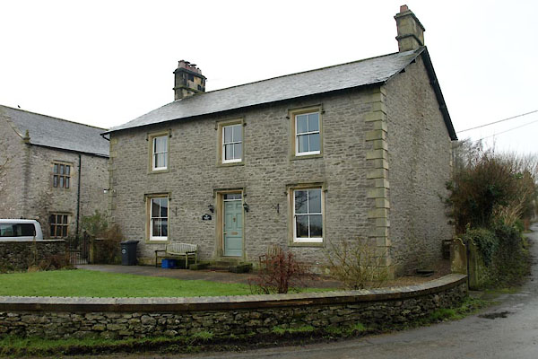 BXV04.jpg (taken 10.2.2013) |
||
|
|
||
| evidence:- | old map:- OS County Series (Wmd 47 12) placename:- Biggins Hall |
|
| source data:- | Maps, County Series maps of Great Britain, scales 6 and 25
inches to 1 mile, published by the Ordnance Survey, Southampton,
Hampshire, from about 1863 to 1948. "Biggins Hall" |
|
|
|
||
| evidence:- | database:- Listed Buildings 2010 placename:- Biggins Hall Farm |
|
| source data:- | courtesy of English Heritage "BIGGINS HALL FARMHOUSE / / BIGGINS LANE / KIRKBY LONSDALE / SOUTH LAKELAND / CUMBRIA / II / 75120 / SD6013878258" |
|
|
|
||
 Lakes Guides menu.