 Old Cumbria Gazetteer
 |
 |
|
| Mosedale Moss, Mungrisdale | ||
| Mosedale Moss | ||
| civil parish:- | Mungrisdale (formerly Cumberland) | |
| county:- | Cumbria | |
| locality type:- | moss | |
| coordinates:- | NY35863316 (etc) | |
| 1Km square:- | NY3533 | |
| 10Km square:- | NY33 | |
|
|
||
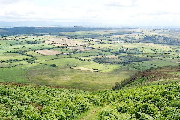 BRC77.jpg and the Caldew valley. (taken 20.7.2009) |
||
|
|
||
| evidence:- | old map:- OS County Series (Cmd 48 14) placename:- Mosedale Moss |
|
| source data:- | Maps, County Series maps of Great Britain, scales 6 and 25
inches to 1 mile, published by the Ordnance Survey, Southampton,
Hampshire, from about 1863 to 1948. |
|
|
|
||
 Lakes Guides menu.