 Old Cumbria Gazetteer
 |
 |
|
| sheepfold, Park Fell | ||
| locality:- | Trout Beck (5) | |
| locality:- | Park Fell | |
| civil parish:- | Lakes (formerly Westmorland) | |
| county:- | Cumbria | |
| locality type:- | sheepfold | |
| coordinates:- | NY42410880 | |
| 1Km square:- | NY4208 | |
| 10Km square:- | NY40 | |
| SummaryText:- | This is a washfold. | |
|
|
||
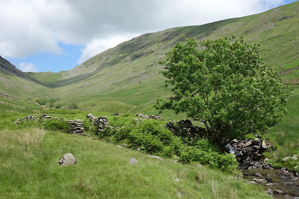 CDO49.jpg (taken 9.7.2015) 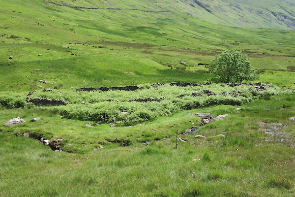 CDO52.jpg (taken 9.7.2015) |
||
|
|
||
| evidence:- | old map:- OS County Series (Wmd 19 16) |
|
| source data:- | Maps, County Series maps of Great Britain, scales 6 and 25
inches to 1 mile, published by the Ordnance Survey, Southampton,
Hampshire, from about 1863 to 1948. "Washfold" |
|
|
|
||
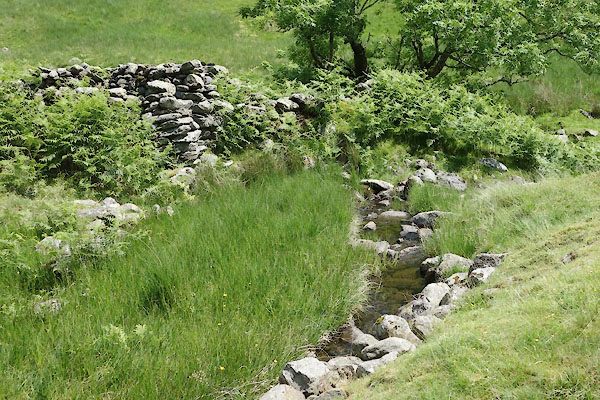 CDO50.jpg (taken 9.7.2015) 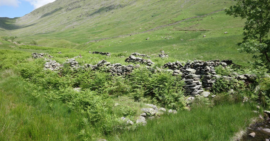 Click to enlarge CDO51.jpg (taken 9.7.2015) 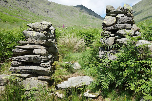 CDO53.jpg Walling. (taken 9.7.2015) 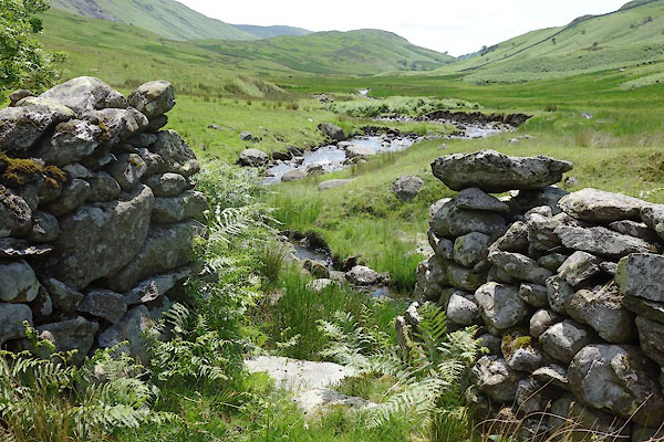 CDO54.jpg Walling. (taken 9.7.2015) 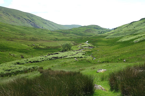 CDO55.jpg (taken 9.7.2015) 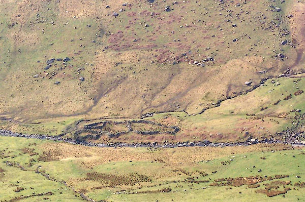 BQK97.jpg (taken 16.4.2009) |
||
|
|
||
 Lakes Guides menu.