 Old Cumbria Gazetteer
 |
 |
|
| Penny Rigg Quarries, Tilberthwaite | ||
| Penny Rigg Quarries | ||
| locality:- | Penny Rigg | |
| locality:- | Yewdale | |
| civil parish:- | Coniston (formerly Lancashire) | |
| county:- | Cumbria | |
| locality type:- | slate quarry | |
| locality type:- | quarry | |
| coordinates:- | NY30530083 (etc) | |
| 1Km square:- | NY3000 | |
| 10Km square:- | NY30 | |
|
|
||
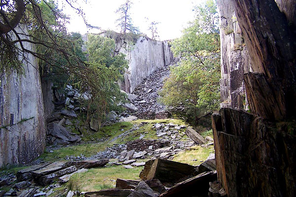 BOB76.jpg (taken 3.9.2007) 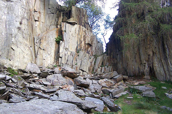 BOB77.jpg (taken 3.9.2007) |
||
|
|
||
| evidence:- | old map:- OS County Series (Lan 1 12) placename:- Penny Rigg Quarries |
|
| source data:- | Maps, County Series maps of Great Britain, scales 6 and 25
inches to 1 mile, published by the Ordnance Survey, Southampton,
Hampshire, from about 1863 to 1948. "Penny Rigg Quarries (Slate)" |
|
|
|
||
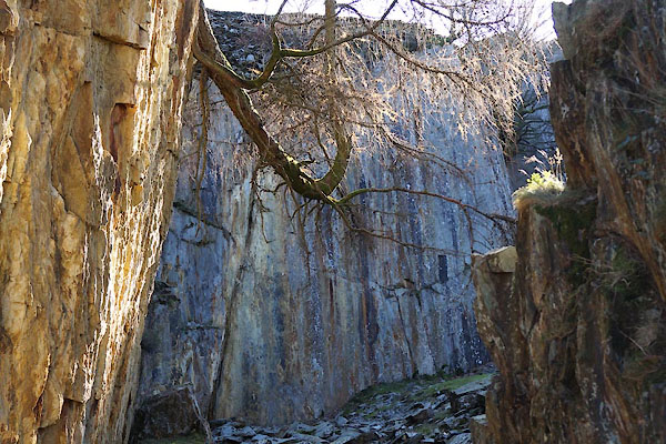
| evidence:- | old photograph:- Marr 1916 |
|
| source data:- | Photograph, halftone print, Tilberthwaite, looking Eastward, Penny Rigg Quarries,
Coniston, Cumberland, 1916.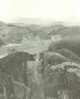 click to enlarge click to enlargeMA1226.jpg item:- JandMN : 173.34 Image © see bottom of page |
|
|
|
||
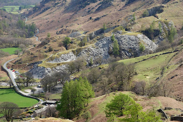 CCY21.jpg (taken 22.4.2015) 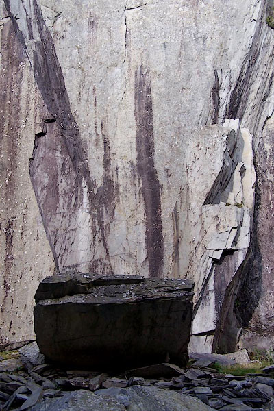 BOB78.jpg (taken 3.9.2007) 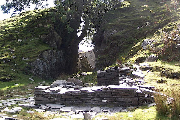 BOB79.jpg (taken 3.9.2007) 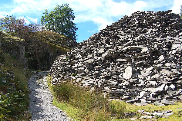 BOB80.jpg Waste, (taken 3.9.2007)  BZQ56.jpg Waste, (taken 19.11.2013) 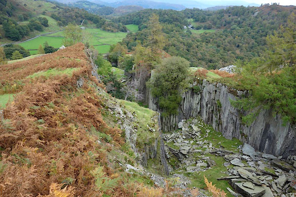 BZN55.jpg (taken 15.10.2013) 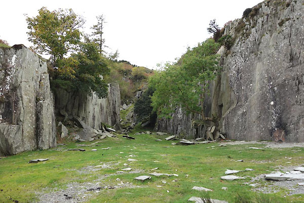 BZN58.jpg (taken 15.10.2013) 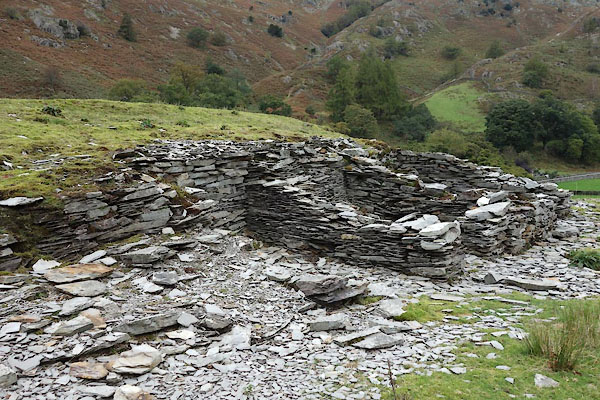 BZN61.jpg Hut, (taken 15.10.2013) 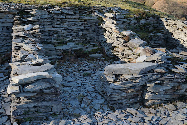 BZQ51.jpg Hut, (taken 19.11.2013) 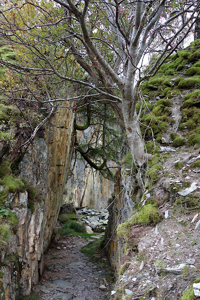 BZN62.jpg (taken 15.10.2013) 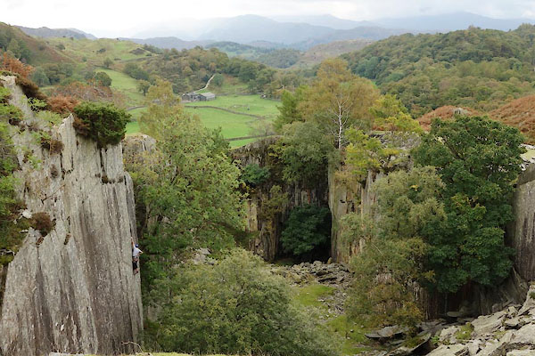 BZN59.jpg Climber (taken 15.10.2013) 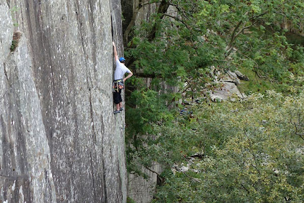 BZN60.jpg Climber (taken 15.10.2013) |
||
|
|
||
 BZQ53.jpg (taken 19.11.2013) 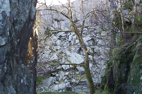 BZQ57.jpg (taken 19.11.2013) 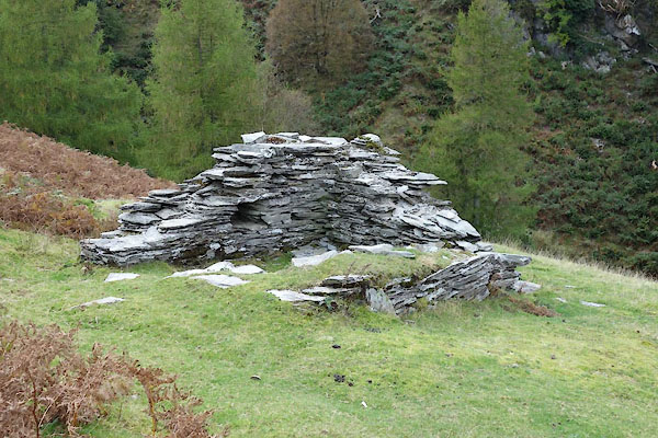 BZN56.jpg Hut, (taken 15.10.2013) 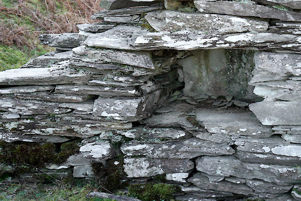 BZQ61.jpg Hut, aumbrey, (taken 19.11.2013) |
||
|
|
||
| notes:- |
The long narrow quarry is aligned the cleavage of the rock, the Seathwaite Fell Formation
of the Borrowdale Volcanic Group. |
|
| : 2015 (?): Mines in Cumbria: Cumbria RIGS Glover, David: 2014: Quarries of Lakeland: Bookcase (Carlisle, Cumbria) |
||
|
|
||
| hearsay:- |
Referred to as Slater Bob's Quarry by Arthur Ransome. |
|
|
|
||
 Lakes Guides menu.