 Old Cumbria Gazetteer
 |
 |
|
| Lowmoss Fold, Shap Rural | ||
| Lowmoss Fold | ||
| civil parish:- | Shap Rural (formerly Westmorland) | |
| county:- | Cumbria | |
| locality type:- | sheepfold | |
| coordinates:- | NY47050999 | |
| 1Km square:- | NY4709 | |
| 10Km square:- | NY40 | |
|
|
||
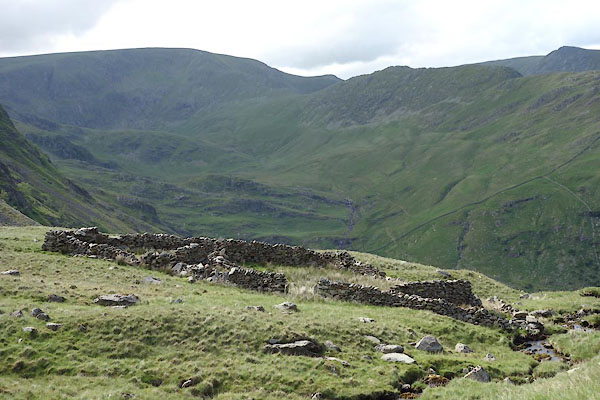 CDL71.jpg (taken 28.6.2015) 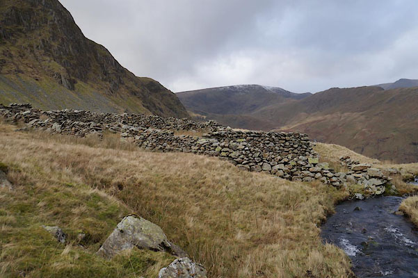 BZT03.jpg (taken 28.12.2013) |
||
|
|
||
| evidence:- | old map:- OS County Series (Wmd 20) placename:- Lowmoss Fold |
|
| source data:- | Maps, County Series maps of Great Britain, scales 6 and 25
inches to 1 mile, published by the Ordnance Survey, Southampton,
Hampshire, from about 1863 to 1948. "Lowmoss Fold" |
|
|
|
||
| evidence:- | map:- OS Six Inch (1956) placename:- Lowmoss Fold |
|
| source data:- | Map series, various editions with the national grid, scale about
6 inches to 1 mile, published by the Ordnance Survey,
Southampton, Hampshire, scale 1 to 10560 from 1950s to 1960s,
then 1 to 10000 from 1960s to 2000s, superseded by print on
demand from digital data.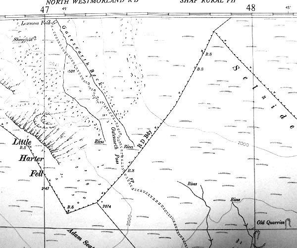 SINY4709.jpg "Lowmoss Fold" |
|
|
|
||
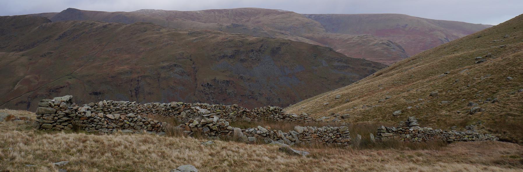 Click to enlarge BZT04.jpg (taken 28.12.2013) 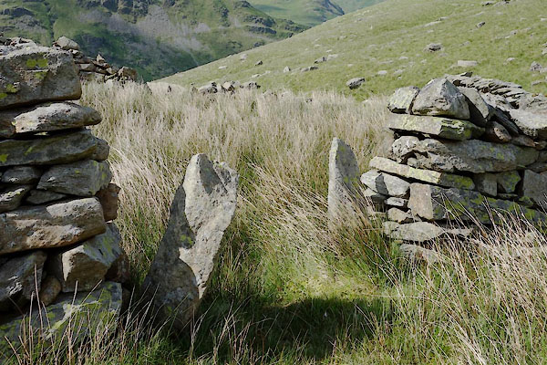 CDL72.jpg (taken 28.6.2015) 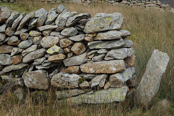 BZT05.jpg Walling. (taken 28.12.2013) 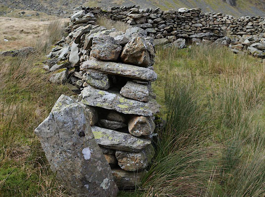 BZT06.jpg Walling, end. (taken 28.12.2013) |
||
|
|
||
 Lakes Guides menu.