Tallentire Hall, Tallentire | ||
out of sight | ||
Tallentire Hall | ||
locality:- | Tallentire | |
civil parish:- | Bridekirk (formerly Cumberland) | |
county:- | Cumbria | |
locality type:- | buildings | |
coordinates:- | NY10453518 | |
1Km square:- | NY1035 | |
10Km square:- | NY13 | |
|
||
evidence:- | old map:- OS County Series (Cmd 45 11) placename:- Tallentire Hall |
|
source data:- | Maps, County Series maps of Great Britain, scales 6 and 25
inches to 1 mile, published by the Ordnance Survey, Southampton,
Hampshire, from about 1863 to 1948. |
|
|
||
evidence:- | old map:- Donald 1774 (Cmd) |
|
source data:- | Map, hand coloured engraving, 3x2 sheets, The County of Cumberland, scale about 1
inch to 1 mile, by Thomas Donald, engraved and published by Joseph Hodskinson, 29
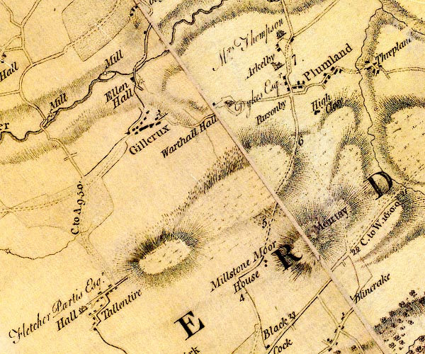
Arundel Street, Strand, London, 1774. D4NY13NW.jpg "Hall / Fletcher Partis Esqr." house at Tallentire item:- Carlisle Library : Map 2 Image © Carlisle Library |
|
|
||
evidence:- | road book:- Cary 1798 (2nd edn 1802) placename:- Tallentire Hall |
|
source data:- | Road book, itineraries, Cary's New Itinerary, by John Cary, 181
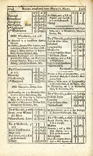
Strand, London, 2nd edn 1802. goto source click to enlarge C38319.jpg page 319-320 "On the r. of Dovenby is Tallentire Hall, William Brown, Esq." item:- JandMN : 228.1 Image © see bottom of page |
|
|
||
evidence:- | old map:- Ford 1839 map |
|
source data:- | Map, uncoloured engraving, Map of the Lake District of
Cumberland, Westmoreland and Lancashire, scale about 3.5 miles
to 1 inch, published by Charles Thurnam, Carlisle, and by R
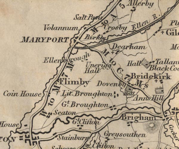
Groombridge, 5 Paternoster Row, London, 3rd edn 1843. FD02NY03.jpg "Hall" Building and park, near Tallentire. item:- JandMN : 100.1 Image © see bottom of page |
|
|
||
evidence:- | database:- Listed Buildings 2010 placename:- Tallentire Hall |
|
source data:- | courtesy of English Heritage "TALLENTIRE HALL / / / BRIDEKIRK / ALLERDALE / CUMBRIA / II / 72590 / NY1045035190" |
|
|
||
evidence:- | database:- Listed Buildings 2010 |
|
source data:- | courtesy of English Heritage "LAMP POST SOUTH EAST OF TALLENTIRE HALL / / / BRIDEKIRK / ALLERDALE / CUMBRIA / II / 72592 / NY1046635182" |
|
source data:- | courtesy of English Heritage "Lamp-post. Mid C19. Cast iron. Square plinth surmounted by open winged birds supporting draped urn. Shaft has leaf and flower pattern under 2 segmental-arm lights and upright C20 globe on floral head. Originally gas and now converted to electricity. Listed for group value with Tallentire Hall." |
|
|
||
evidence:- | database:- Listed Buildings 2010 |
|
source data:- | courtesy of English Heritage "LAMP POST NORTH EAST OF TALLENTIRE HALL / / / BRIDEKIRK / ALLERDALE / CUMBRIA / II / 72591 / NY1045035218" |
|
source data:- | courtesy of English Heritage "Lamp-post. Mid C19. Cast iron. Square plinth surmounted by open-winged birds supporting draped urn. Shaft has leaf and flower pattern under 2 segmental-arm lights and upright C20 globe on floral head. Originally gas and now converted to electricity. Listed for group value with Tallentire Hall." |
|
|
||
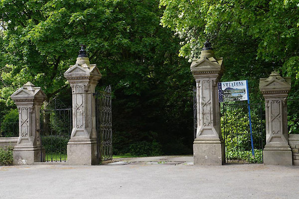
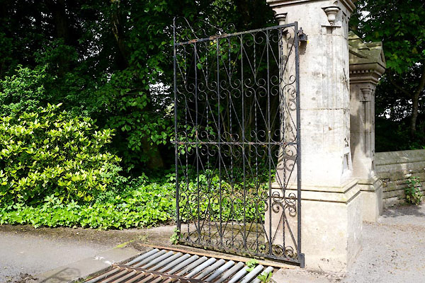
CAV06.jpg Gate piers etc. (taken 30.5.2014) CAV07.jpg Gate. (taken 30.5.2014) |
||
|
||
notes:- |
16th century stair turret mistaken for a tower |
|
Perriam, D R &Robinson, J: 1998: Medieval Fortified Buildings of Cumbria: CWAAS::
ISBN 1 873124 23 6 |
||
|