 Old Cumbria Gazetteer
 |
 |
|
| Crookdale Fold, Shap Rural | ||
| Crookdale Fold | ||
| locality:- | Crookdale | |
| civil parish:- | Shap Rural (formerly Westmorland) | |
| county:- | Cumbria | |
| locality type:- | sheepfold | |
| coordinates:- | NY51540716 | |
| 1Km square:- | NY5107 | |
| 10Km square:- | NY50 | |
|
|
||
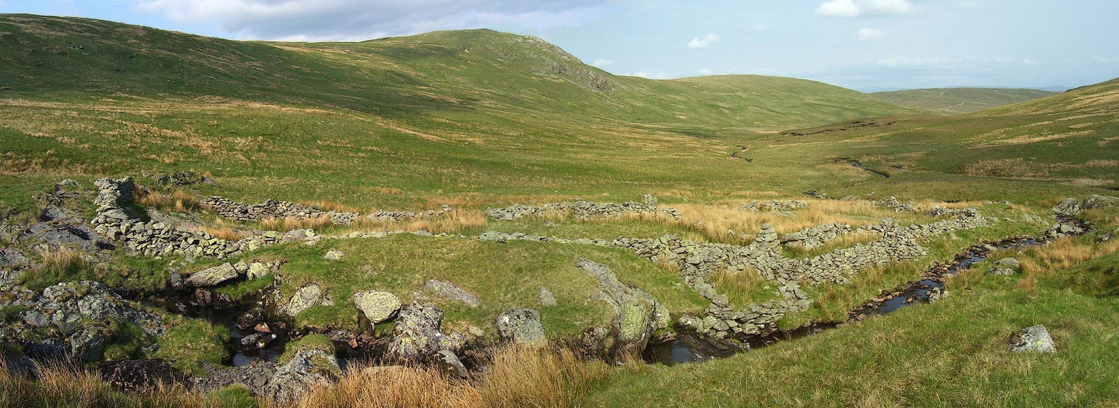 Click to enlarge BPF78.jpg (taken 24.5.2008) 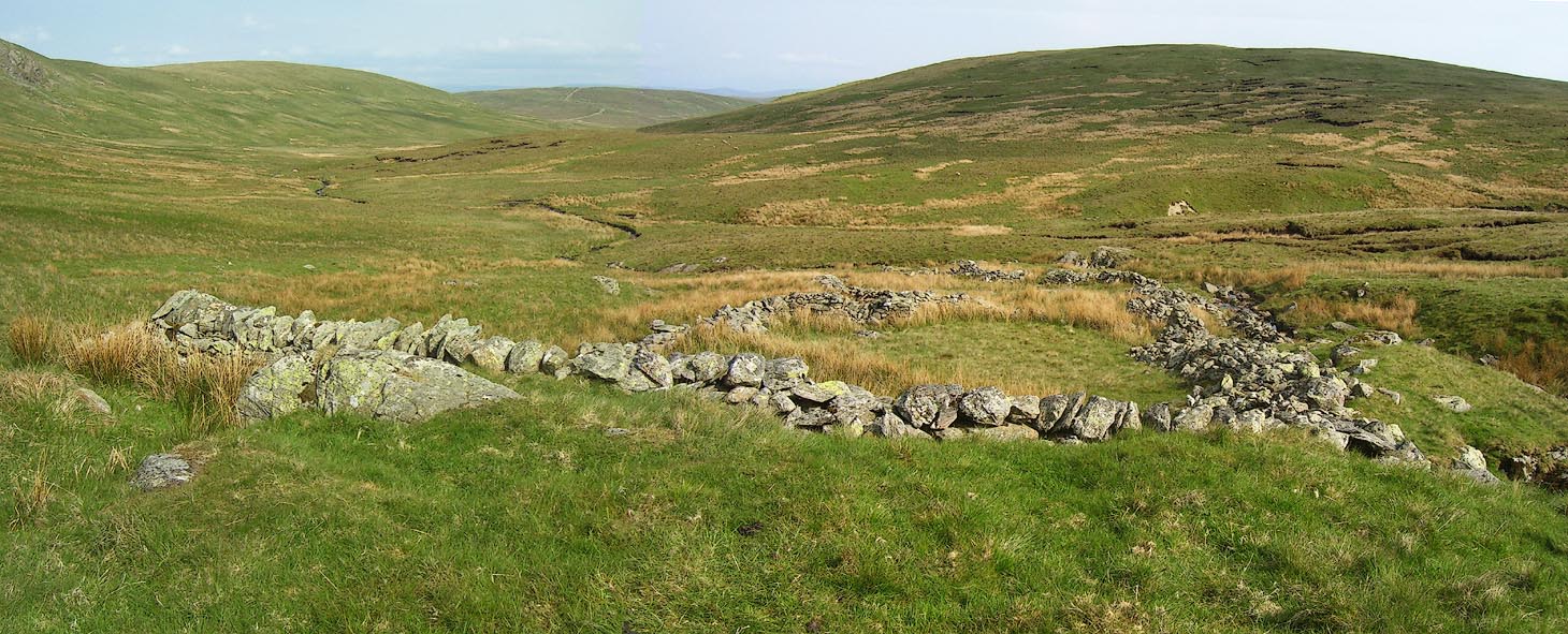 Click to enlarge BPF79.jpg (taken 24.5.2008) |
||
|
|
||
| evidence:- | old map:- OS County Series placename:- Crookgill Fold |
|
| source data:- | Maps, County Series maps of Great Britain, scales 6 and 25
inches to 1 mile, published by the Ordnance Survey, Southampton,
Hampshire, from about 1863 to 1948. "Crookgill Fold" |
|
|
|
||
 Lakes Guides menu.